
Sell Mineral Rights in Vernon, CO
Vernon sits far enough east that the Niobrara here is a quieter, more marginal play than Wattenberg, and that's exactly how we price it.
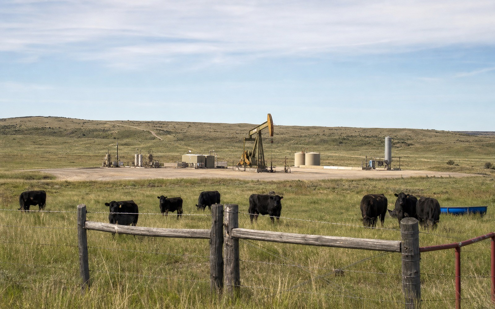
Vernon is a small Yuma County crossroads on Colorado's eastern plains, dryland wheat and cattle country where the Niobrara formation runs shallower and more marginal than it does in the Wattenberg core two hours west. Mineral interests here are typically tied to homestead-era land patents, and legacy vertical wells still make up a real share of local production alongside any newer horizontal activity.
Vernon's grain elevator and rail siding are reminders that this stretch of Yuma County has always run on agriculture first, with oil and gas as a secondary, welcome addition to the local economy.
Eastern plains Niobrara, not Wattenberg core
This part of Yuma County sits on the eastern extension of the D-J Basin, where the Niobrara and underlying formations are shallower and generally less prolific than the deep Wattenberg core in Weld County. Well economics here are more marginal, which affects both drilling pace and royalty value, so we price Vernon interests against eastern plains comps rather than central Weld County numbers.
Homestead-era mineral splits
Much of the land around Vernon was originally claimed under federal homestead patents, and mineral interests today are frequently split among multiple heirs of the original claim, sometimes fractionalized down to very small percentages after several generations. Before we quote a number, we confirm exactly what share you hold through the Yuma County Clerk and Recorder in Wray.
Legacy vertical wells versus newer activity
Some production around Vernon comes from older vertical wells drilled decades ago that are now on a long, shallow decline, while other acreage has seen more recent horizontal test activity. We check which category your unit falls into, since a mature vertical well and a newer horizontal well carry very different value profiles.
Anchor the Area to the Colorado Record
An area brief should identify the local property context without substituting a city or county label for tract evidence. The file connects the local tract to the legal description, ownership fraction, formation, producing unit, operator, lease position, paid decimal, statement history, and nearby activity. County records, state well information, payor documents, and the owner file may each answer a different part of the schedule. The review should preserve those source differences rather than smoothing them into a generic statewide summary.
Compare Local Tracts Through the Same Evidence Lines
A local tract can be compared with other Colorado interests only after the same evidence lines are populated: recorded right, paid interest, production, decline, lease burdens, inventory signals, title risk, and written offer scope. Basin proximity, operator activity, or a nearby completion can add context but does not guarantee development. A useful written comparison states the date of the evidence, the assumptions included, the property excluded, and the title or timing condition that could still change the result.
Check the Assumption Before It Enters the Schedule
Is the Niobrara as productive near Vernon as it is in Weld County?
Generally not, this is the shallower, more marginal eastern extension of the play, so we price against eastern plains comps rather than deep-core Wattenberg numbers.
A Colorado mineral-owning family has owned this since the original homestead. How do you confirm your share?
We trace the chain of title through the Yuma County Clerk and Recorder back to the original patent to confirm your exact fractional interest.
Is a legacy vertical well interest worth selling?
Yes, a mature well still generates a stable, well-documented decline curve that we can price against confidently.
Are there active leases currently in place near Vernon?
Some tracts are leased and some aren't, depending on recent operator interest in the surrounding township. We check the current status of your specific parcel before quoting.