
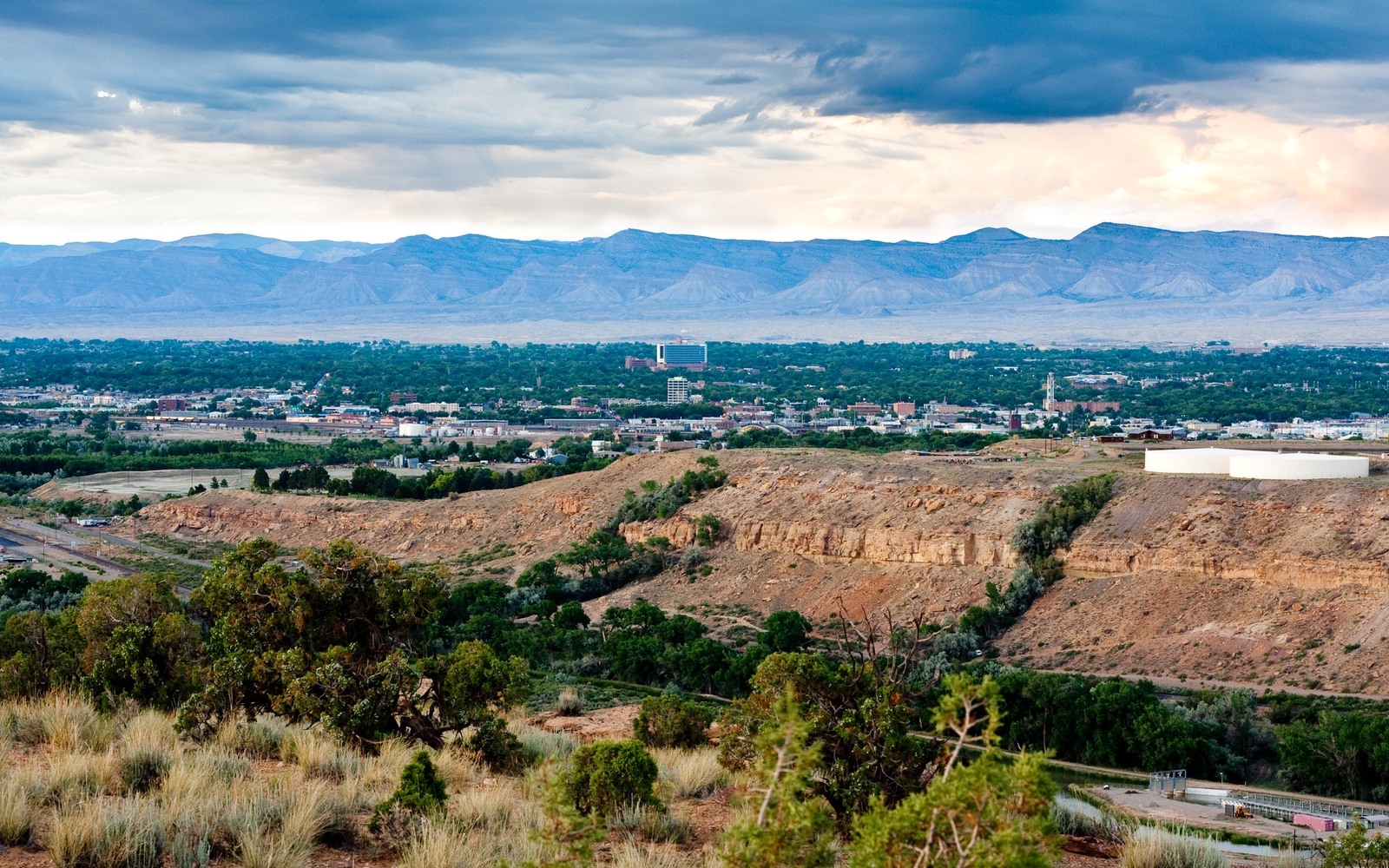
Sell Mineral Rights in Grand Junction, CO
Grand Junction is the Mesa County seat and the commercial hub for Piceance Basin activity on the western side of the state, which makes it the natural place to start if you are trying to figure out what a Mesa County mineral interest is worth.
Mineral ownership around Grand Junction ranges widely: some tracts sit inside long-producing gas units stretching back decades, others are undeveloped ranch or agricultural land that has never seen a permit. The Grand Valley's mix of irrigated farmland and drier benchland means development history varies a lot even between neighboring parcels.
We start every Grand Junction inquiry the same way, by confirming your legal description against Mesa County deed and lease records, because general area reputation tells us very little about your specific tract's actual history.
A hub for a spread-out basin
Because Grand Junction serves as the commercial and administrative center for Piceance activity across Mesa and Garfield counties, we see a wide range of ownership situations here, from large legacy holdings tied to historical uranium and gas leases to small inherited fractions with no clear production history.
Producing versus speculative acreage
If your tract has production history, we price off a decline curve fit to your check stubs. If it does not, we price against comparable Mesa County lease and sale activity, which varies more here than in a tighter basin like the DJ Basin's Wattenberg core.
Working through older or incomplete records
Grand Junction-area title chains are sometimes older and less consistently documented than newer basins elsewhere in the state. We do the legwork of pulling historical deed and lease records so you do not have to.
When family holdings span multiple parcels
Some Grand Junction-area families hold mineral interests across several separate legal descriptions accumulated over generations, not only one tract. We can evaluate and price a whole portfolio of Mesa County interests at once rather than requiring a separate transaction for each parcel.
Anchor the Area to the Colorado Record
An area brief should identify the local property context without substituting a city or county label for tract evidence. The file connects the local tract to the legal description, ownership fraction, formation, producing unit, operator, lease position, paid decimal, statement history, and nearby activity. County records, state well information, payor documents, and the owner file may each answer a different part of the schedule. The review should preserve those source differences rather than smoothing them into a generic statewide summary.
Compare Local Tracts Through the Same Evidence Lines
A local tract can be compared with other Colorado interests only after the same evidence lines are populated: recorded right, paid interest, production, decline, lease burdens, inventory signals, title risk, and written offer scope. Basin proximity, operator activity, or a nearby completion can add context but does not guarantee development. A useful written comparison states the date of the evidence, the assumptions included, the property excluded, and the title or timing condition that could still change the result.
Check the Assumption Before It Enters the Schedule
How different is value across Mesa County?
Significant. Production history and proximity to active fields vary a lot between parcels, so we always price based on your specific tract, not general county reputation.
A Colorado mineral-owning family's records go back many decades. Can you still work with them?
Yes, we regularly trace older chains of title through Mesa County records to confirm current ownership.
What if you'm not sure whether your land has ever produced?
Send us your deed or legal description and we will check Mesa County lease and production records before quoting anything.
A Colorado mineral-owning family owns minerals in several different spots around Mesa County. Can you handle all of it together?
Yes, we can evaluate and price multiple parcels as a single combined transaction.