
Sell Mineral Rights in Watkins, CO
Watkins sits close enough to Denver International Airport that growth pressure is starting to reach ground that's been rural for generations.
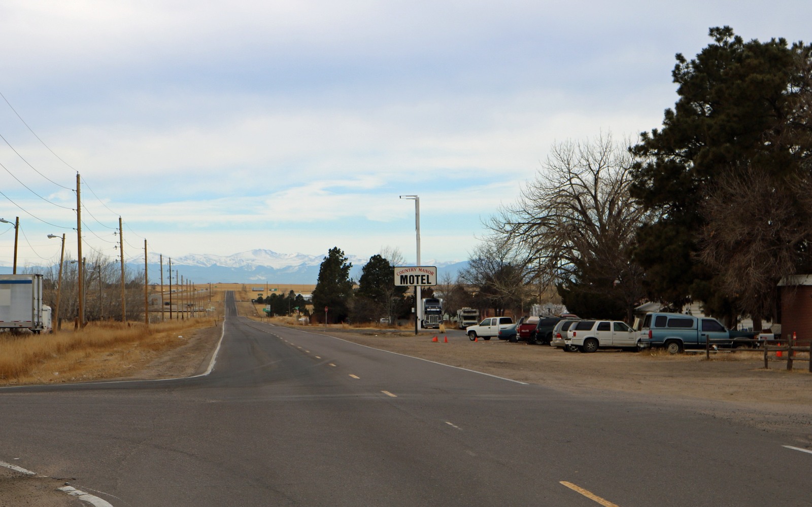
East of DIA in unincorporated Adams County, Watkins has stayed rural longer than most of the north Denver metro, but airport-adjacent development is beginning to change that. For now, most mineral interests here are tied to farmland that's still working ground, which keeps the drilling picture simpler than in the built-out suburbs closer to Denver.
We keep an eye on Adams County's airport-area land use planning specifically because it can shift which sections stay open to future drilling versus which get folded into commercial development.
Because Watkins straddles agricultural and airport-adjacent land, we look at both the current zoning designation and any pending land use changes before pricing a tract here.
DJ Basin fringe with room to operate
Watkins sits on the eastern fringe of the Wattenberg trend, where Niobrara and Codell economics run a step below the deep Weld County core but the still-rural surface makes siting easier than in dense subdivisions closer to Denver. Operators generally face fewer local setback disputes here than in built-up Adams County neighborhoods to the west.
Airport growth on the horizon
Development pressure radiating out from DIA is a real, if slower-moving, factor for landowners east of the airport. It hasn't reshaped the surface around Watkins the way it has closer-in Adams County towns yet, but it's worth watching if you're weighing whether to sell now versus hold for a future setback-driven premium or discount.
Verifying your Watkins interest
We confirm your chain of title through the Adams County Clerk and Recorder, check whether your tract sits inside a current spacing unit, and price against comparable eastern Adams County transactions.
Anchor the Area to the Colorado Record
An area brief should identify the local property context without substituting a city or county label for tract evidence. The file connects the local tract to the legal description, ownership fraction, formation, producing unit, operator, lease position, paid decimal, statement history, and nearby activity. County records, state well information, payor documents, and the owner file may each answer a different part of the schedule. The review should preserve those source differences rather than smoothing them into a generic statewide summary.
Compare Local Tracts Through the Same Evidence Lines
A local tract can be compared with other Colorado interests only after the same evidence lines are populated: recorded right, paid interest, production, decline, lease burdens, inventory signals, title risk, and written offer scope. Basin proximity, operator activity, or a nearby completion can add context but does not guarantee development. A useful written comparison states the date of the evidence, the assumptions included, the property excluded, and the title or timing condition that could still change the result.
Check the Assumption Before It Enters the Schedule
Is Watkins still mostly agricultural?
Largely yes, though development pressure from the DIA corridor is a growing factor we watch when advising on timing.
How does Watkins compare to central Weld County pricing?
It sits on the eastern Wattenberg fringe, generally a step below deep-core comps, so we price against eastern Adams County sales specifically.
What do you need to make an offer?
Your mineral deed or legal description, used to confirm the chain of title through Adams County records.
Is DIA-related development likely to affect your mineral value?
It's a slower-moving factor than in denser Adams County suburbs, but we do factor long-range land use plans into how we price acreage near the airport corridor.
Does zoning near DIA affect whether your mineral interest can be developed?
It can influence timing and surface access, though it doesn't eliminate the underlying mineral value. We check current zoning before valuing your interest.