
Sell Mineral Rights in Red Feather Lakes, CO
Red Feather Lakes sits high in the mountains west of Fort Collins, well outside the geologic footprint where DJ Basin oil and gas development has ever realistically reached.
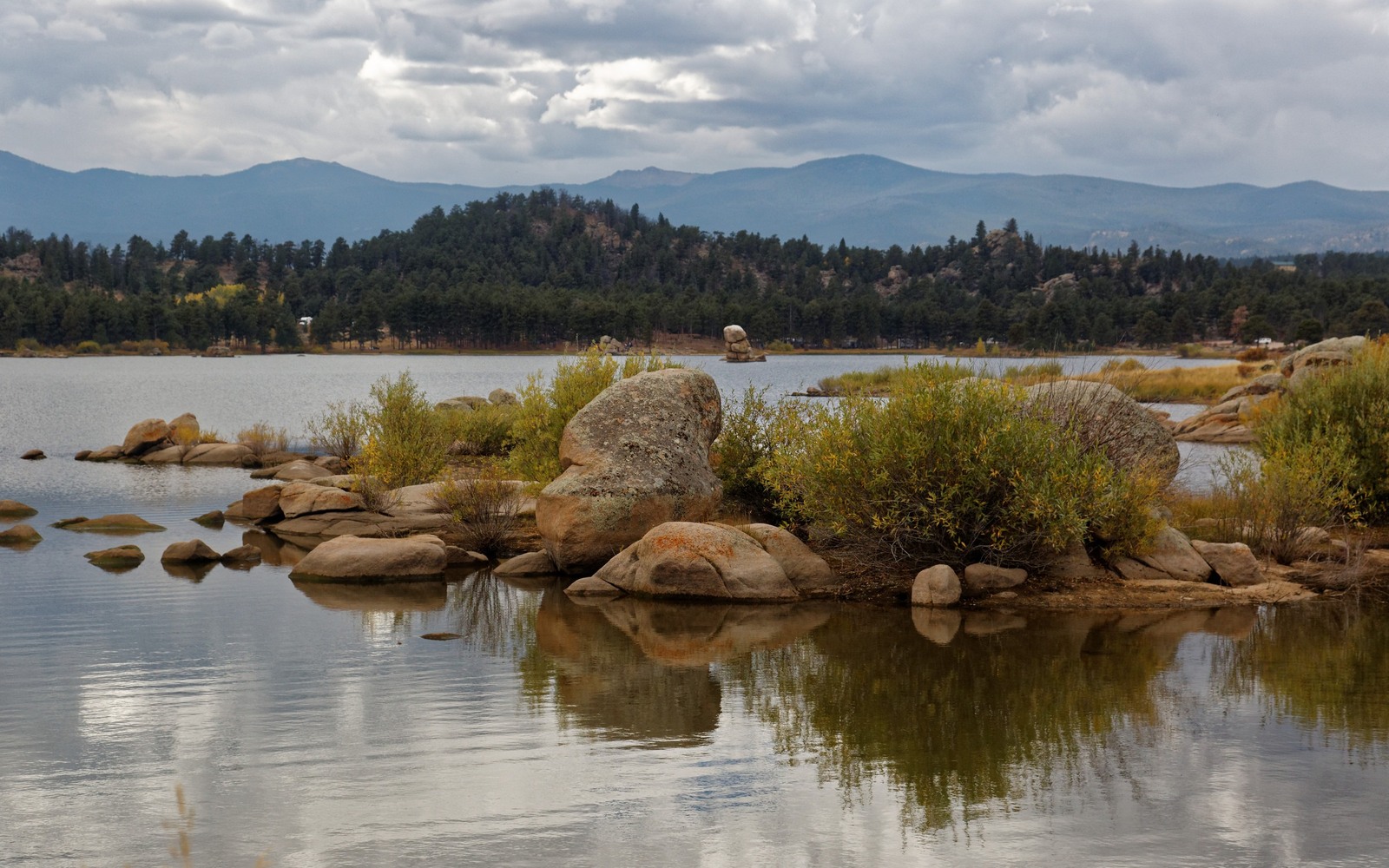
This is one of the more unusual mineral situations we evaluate: a mountain recreation community in the Roosevelt National Forest foothills, far removed from the Niobrara and Codell trend that drives value across the rest of Larimer County and the broader DJ Basin. If your family holds minerals here from an old homestead or land purchase, it's worth understanding upfront that this ground sits outside the basin's productive reach.
Why this ground is different from the rest of Larimer County
The formations that produce so heavily around Loveland and further into Weld County either thin out, sit too deep, or simply don't extend into this mountainous terrain in an economically drillable way. Combined with the recreational and forested character of the land and its proximity to protected National Forest acreage, realistic development potential here is very limited.
We check COGCC records for any historical activity tied to your legal description regardless, since we don't assume without verifying, but for most Red Feather Lakes acreage the honest answer is that there's no meaningful oil and gas story to price against.
What we'll tell you
If your interest has no production history and sits in this kind of geologically unfavorable position, we'll say so plainly rather than quote a number that doesn't reflect reality. Some mineral owners in situations like this choose to simply hold the interest since there's little urgency to sell nominal rights.
Anchor the Area to the Colorado Record
An area brief should identify the local property context without substituting a city or county label for tract evidence. The file connects the local tract to the legal description, ownership fraction, formation, producing unit, operator, lease position, paid decimal, statement history, and nearby activity. County records, state well information, payor documents, and the owner file may each answer a different part of the schedule. The review should preserve those source differences rather than smoothing them into a generic statewide summary.
Compare Local Tracts Through the Same Evidence Lines
A local tract can be compared with other Colorado interests only after the same evidence lines are populated: recorded right, paid interest, production, decline, lease burdens, inventory signals, title risk, and written offer scope. Basin proximity, operator activity, or a nearby completion can add context but does not guarantee development. A useful written comparison states the date of the evidence, the assumptions included, the property excluded, and the title or timing condition that could still change the result.
Check the Assumption Before It Enters the Schedule
Could your mineral rights still be worth something?
Possibly a nominal amount, but this area sits outside the DJ Basin's realistic productive reach, and we'll be direct with you about that rather than overstate the number.
Is there any chance of future drilling here?
Very unlikely given the geology, terrain, and adjacent National Forest land, though we always check current records before ruling anything out completely.
Should you still get your mineral interest evaluated?
There's no cost to finding out, and it's better to have a clear, honest answer than to wonder.
Why would anyone buy minerals with essentially no drilling prospects?
Some buyers acquire nominal-value interests as part of a broader portfolio strategy, but you should expect a modest number reflecting the realistic geologic and land-use picture, not a Wattenberg-style figure.