
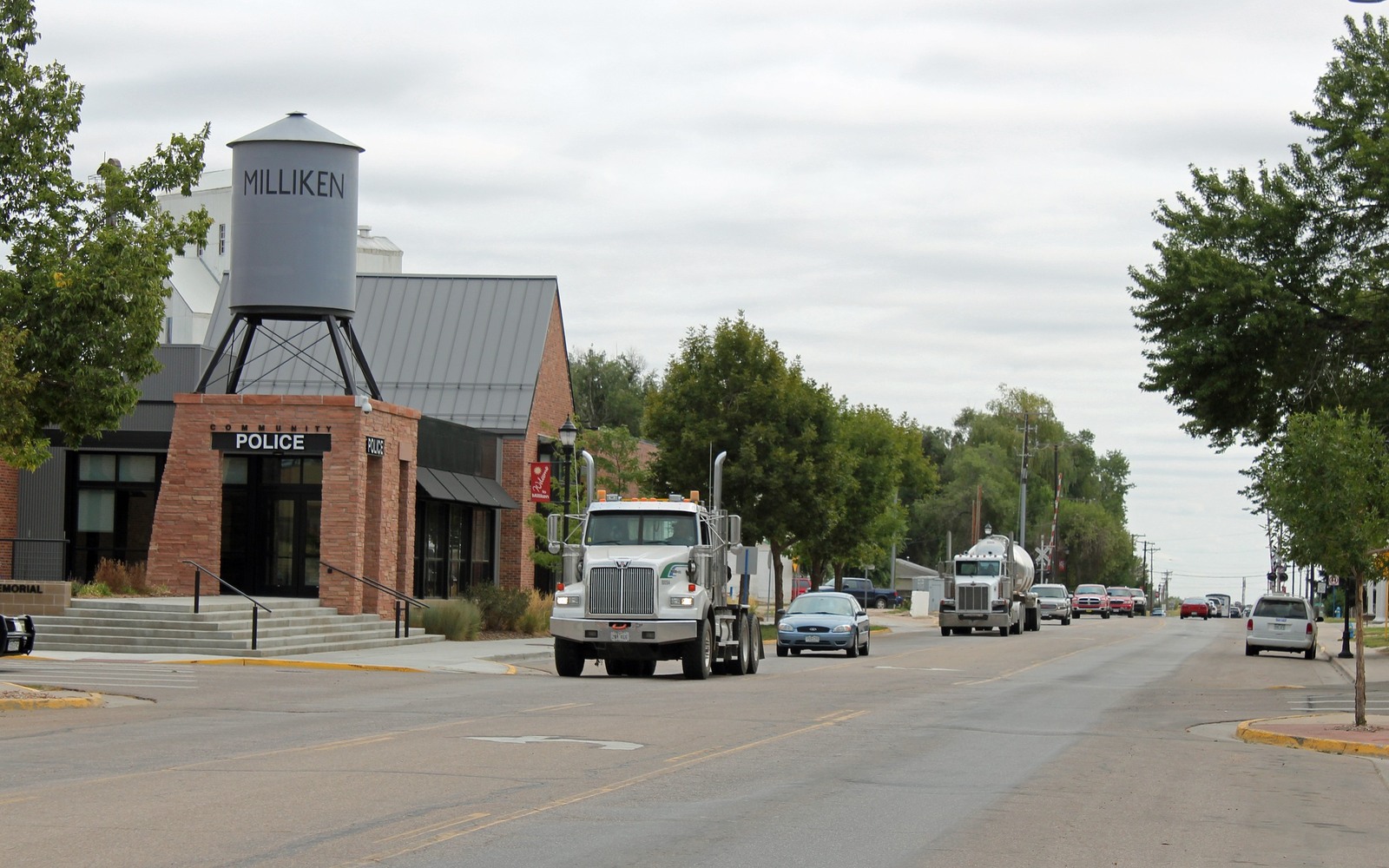
Sell Mineral Rights in Milliken, CO
Milliken sits where the Big Thompson River runs into the South Platte, river-bottom farmland that's been part of the Wattenberg field's steady horizontal development for well over a decade.
Milliken's history is agricultural — sugar beet processing once anchored the local economy, and much of the ground around town was farmed by families who later kept mineral rights when selling or leasing to oil and gas operators. If you hold a Milliken-area interest, it likely came down from exactly that kind of family farm history rather than a modern purchase.
Production patterns at the river confluence
Wells around Milliken generally target the same Niobrara and Codell zones common across the Wattenberg field, drilled on standard spacing units. The river confluence geography here hasn't meaningfully changed drilling economics compared to surrounding Weld County towns, but it has meant some surface-use negotiations around floodplain and access considerations that are worth knowing about if you're also a surface owner.
As with most Wattenberg horizontals, expect a steep early decline followed by a long, low stripper tail — which is why we always pull the specific well's current production stage before quoting rather than relying on early-peak numbers.
Getting your interest evaluated
Send your deed or legal description and any division order statements you have. We'll match them against COGCC well data for your section and give you a number tied to what's actually being paid out today.
Anchor the Area to the Colorado Record
An area brief should identify the local property context without substituting a city or county label for tract evidence. The file connects the local tract to the legal description, ownership fraction, formation, producing unit, operator, lease position, paid decimal, statement history, and nearby activity. County records, state well information, payor documents, and the owner file may each answer a different part of the schedule. The review should preserve those source differences rather than smoothing them into a generic statewide summary.
Compare Local Tracts Through the Same Evidence Lines
A local tract can be compared with other Colorado interests only after the same evidence lines are populated: recorded right, paid interest, production, decline, lease burdens, inventory signals, title risk, and written offer scope. Basin proximity, operator activity, or a nearby completion can add context but does not guarantee development. A useful written comparison states the date of the evidence, the assumptions included, the property excluded, and the title or timing condition that could still change the result.
Check the Assumption Before It Enters the Schedule
Does the river confluence affect drilling near Milliken?
It mainly affects surface access and floodplain considerations rather than the underlying formation economics, which are consistent with the broader Wattenberg field.
A Colorado mineral-owning family used to farm sugar beets here — does that matter for mineral value?
Not directly to the valuation, though it often explains how mineral rights first got severed from the surface, which we account for when tracing title.
How fast do royalty checks decline on these wells?
Typically sharp in year one or two, then a much slower decline into a long tail. We check where your specific well sits on that curve before quoting.
Does being near the river confluence create title complications?
Occasionally, when a legal description references an older survey affected by river-boundary changes over the decades. We sort that out against current county records before finalizing any quote.
How soon after selling would you receive payment?
Once title is confirmed clean and paperwork is signed, closing on a straightforward Milliken interest typically moves quickly, usually within a couple of weeks.