
Sell Mineral Rights in No Name, CO
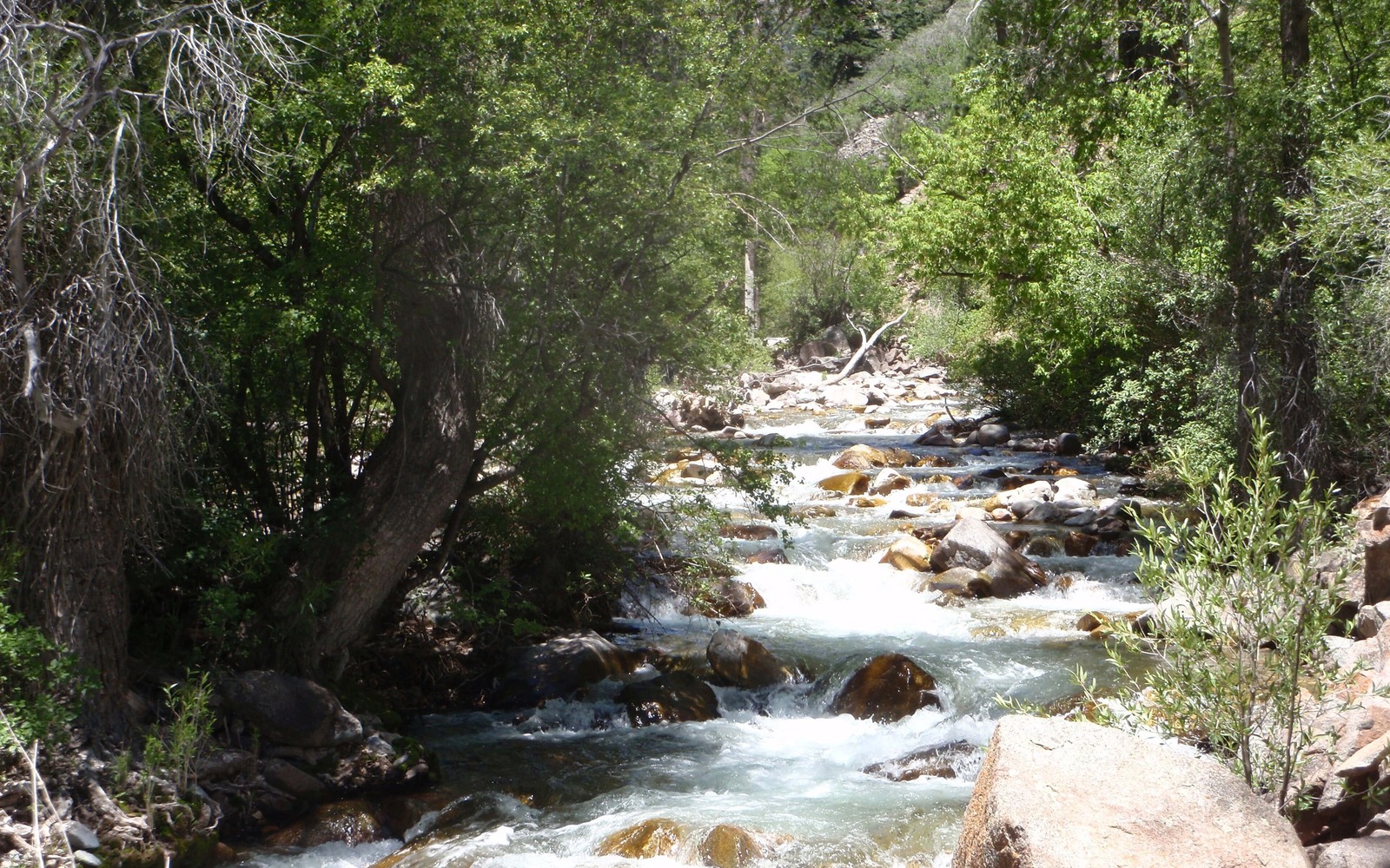
No Name sits tucked into Glenwood Canyon along you-70, right where the Piceance Basin's gas-bearing formations run into steep, federally managed canyon terrain that's never seen the drilling density of open Garfield County ground further north.
This is one of the more unusual mineral ownership situations in the county: canyon topography and adjacent White River National Forest and BLM land sharply limit where a well could ever realistically be sited, even where the underlying Williams Fork or Mesaverde formations exist. If you hold minerals near No Name, your interest's story is shaped as much by geography as by geology.
Why drilling here looks different than Rifle or Parachute
Steep canyon walls, limited surface access, and federal land management all constrain well siting near No Name in ways that don't apply to the flatter, more open acreage further north and west in Garfield County where the bulk of Piceance development has concentrated. Some nearby acreage has never been drilled and realistically may never be, given the terrain.
We check COGCC records for any historical or current activity tied to your specific section regardless, since exceptions do exist, but we're upfront when the practical development outlook is limited by geography rather than economics.
Evaluating acreage with limited development potential
For interests with no production history and constrained development potential, we price the acreage as speculative rather than income-based, and we explain exactly why the number reflects that rather than the Piceance core's typical valuation range.
Anchor the Area to the Colorado Record
An area brief should identify the local property context without substituting a city or county label for tract evidence. The file connects the local tract to the legal description, ownership fraction, formation, producing unit, operator, lease position, paid decimal, statement history, and nearby activity. County records, state well information, payor documents, and the owner file may each answer a different part of the schedule. The review should preserve those source differences rather than smoothing them into a generic statewide summary.
Compare Local Tracts Through the Same Evidence Lines
A local tract can be compared with other Colorado interests only after the same evidence lines are populated: recorded right, paid interest, production, decline, lease burdens, inventory signals, title risk, and written offer scope. Basin proximity, operator activity, or a nearby completion can add context but does not guarantee development. A useful written comparison states the date of the evidence, the assumptions included, the property excluded, and the title or timing condition that could still change the result.
Check the Assumption Before It Enters the Schedule
Can a well even be drilled in Glenwood Canyon terrain?
It's technically possible in some spots but far more constrained than open ground elsewhere in Garfield County, due to topography and adjacent federal land management.
Is your mineral interest worthless if it's never been drilled?
Not necessarily worthless, but it's valued as speculative acreage rather than a producing interest, and we're clear about that difference before quoting.
Does nearby federal land affect your private mineral rights?
It can affect access and drilling feasibility on adjacent private minerals even where the mineral estate itself is privately owned, which is part of what we check.
How is No Name's name relevant to any of this?
It isn't, beyond making the community memorable. What matters for valuation is your legal description and whatever COGCC records show for that specific parcel.
What's the quickest way to get a preliminary answer?
Send your legal description or a copy of your deed, and we'll check COGCC records right away to tell you whether any activity has ever touched your specific parcel.