
Sell Mineral Rights in Kit Carson, CO
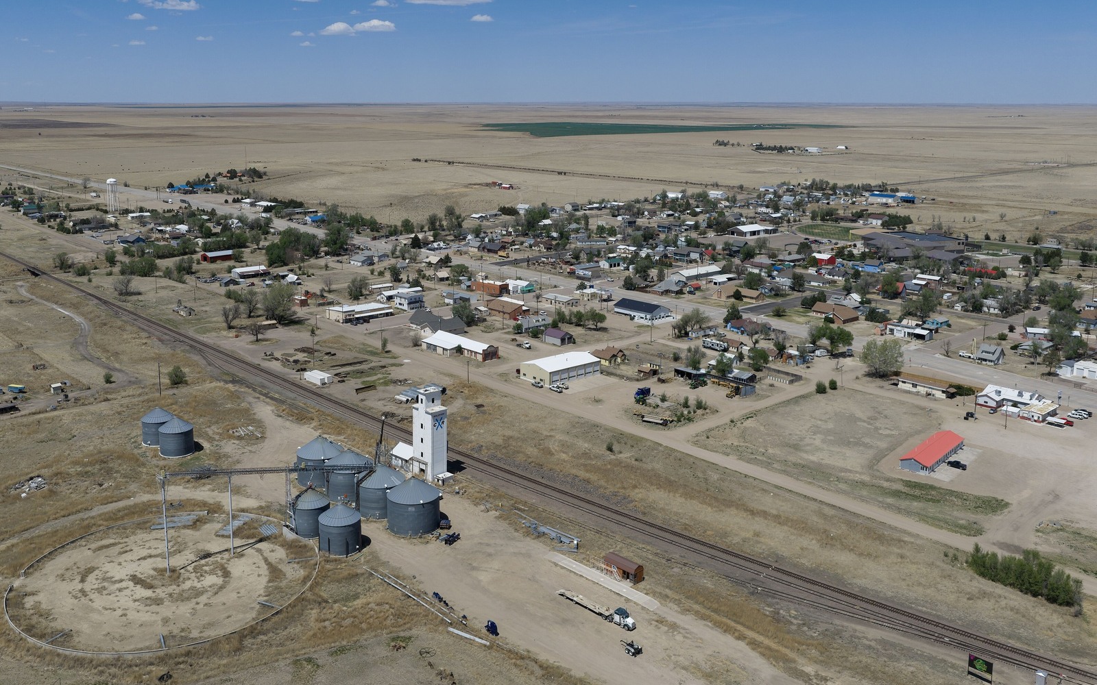
Kit Carson sits well east of the Wattenberg core, in ranch and dryland farm country where oil and gas history runs shallower than the headlines out of Weld County.
Kit Carson is the seat of Cheyenne County, one of Colorado's least-populated counties and one of the quietest corners of the DJ Basin's eastern reach. If you hold minerals here, chances are they came down through a family ranch or a homestead patent, kept separate from the surface generations ago, and you've spent more time managing cattle leases than thinking about oil and gas.
A different kind of DJ Basin acreage
Cheyenne County has seen sporadic vertical drilling rather than the dense horizontal pad development common in Weld and Larimer counties. Some sections around Kit Carson have producing wells dating back decades; others have never been drilled despite sitting inside a broader field designation. That distinction matters enormously for value, and it's the first thing we sort out.
Because activity is thinner here, county-level records at the Cheyenne County clerk and recorder's office are usually easier to work through than in the crowded DJ Basin core — fewer overlapping leases, fewer amended pooling orders to untangle.
How we evaluate a Kit Carson interest
We start with your legal description and check it against Colorado Oil and Gas Conservation Commission well and production data for Cheyenne County. If there's an active well tied to your acreage, we build a valuation off its actual output and decline. If the acreage has never been drilled, we're honest that the interest is speculative and price it accordingly rather than promising a number the ground doesn't support.
Anchor the Area to the Colorado Record
An area brief should identify the local property context without substituting a city or county label for tract evidence. The file connects the local tract to the legal description, ownership fraction, formation, producing unit, operator, lease position, paid decimal, statement history, and nearby activity. County records, state well information, payor documents, and the owner file may each answer a different part of the schedule. The review should preserve those source differences rather than smoothing them into a generic statewide summary.
Compare Local Tracts Through the Same Evidence Lines
A local tract can be compared with other Colorado interests only after the same evidence lines are populated: recorded right, paid interest, production, decline, lease burdens, inventory signals, title risk, and written offer scope. Basin proximity, operator activity, or a nearby completion can add context but does not guarantee development. A useful written comparison states the date of the evidence, the assumptions included, the property excluded, and the title or timing condition that could still change the result.
Check the Assumption Before It Enters the Schedule
Has there ever been drilling in Cheyenne County?
Yes, scattered vertical wells over the decades, though nowhere near the density of the Wattenberg field further west. We check well records specific to your section before quoting anything.
What if your mineral interest has never produced?
It can still have value as undeveloped acreage, but the number reflects that speculative status rather than an active royalty stream. We'll walk you through the difference.
Do you buy interests this far out on the eastern plains?
Yes. We evaluate acreage across the DJ Basin's full footprint, not only the core counties, and we'll give you a straight answer either way.
Does distance from Weld County hurt the value of your mineral interest?
It reflects lighter development activity rather than penalizing you directly. If your acreage has an active producing well, we quote against that well's actual output the same way we would anywhere else in the basin.