
Sell Mineral Rights in Laird, CO
Laird sits almost against the Kansas line, in a stretch of Yuma County where oil and gas history is older, thinner, and more scattered than the Wattenberg core.
Laird is one of the smallest communities in Yuma County, and mineral ownership out here is almost always inherited farmland — wheat and corn ground where the family kept the rights when a neighbor bought or leased the surface. Some of these interests have quietly collected royalty checks from decades-old wells without the owner ever having visited the well site.
Older wells, longer paper trails
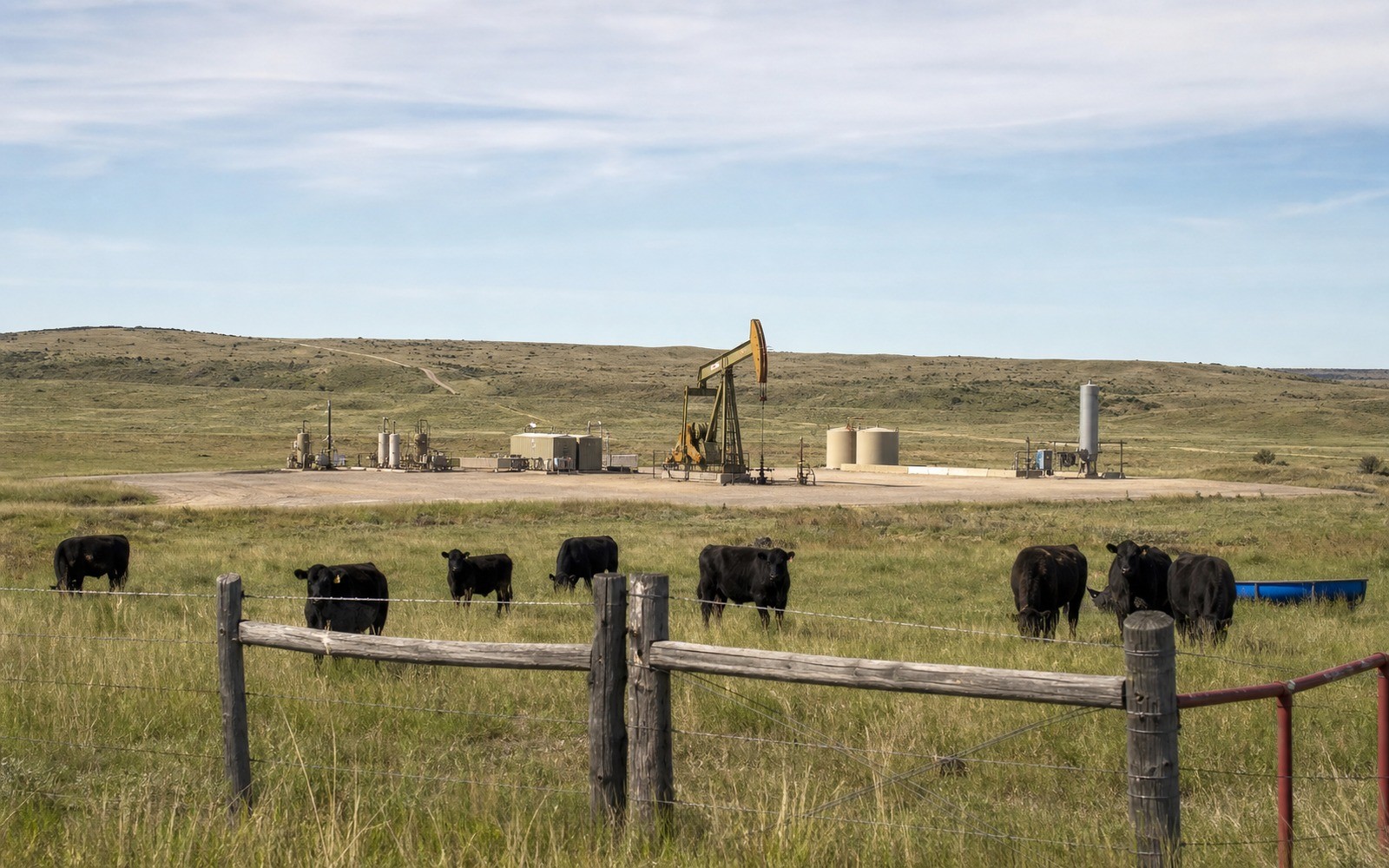
Because this part of the basin was drilled earlier and more sparsely than the core, many producing wells near Laird date back to the 1970s or 1980s, with ownership records that have passed through several hands since. Tracing a Laird interest sometimes means working through an older chain of title at the Yuma County clerk and recorder's office before we can confirm what unit and well it belongs to.
Older wells also mean more established decline data. A well with forty years of production history gives a much clearer picture of remaining value than a two-year-old horizontal still on its steep early decline, and we lean on that history rather than guessing.
What to send us
A copy of your deed, or the legal description if you have it, plus any division order statements you've received over the years. Even old, faded paperwork helps us trace the well and operator faster than starting from scratch.
Anchor the Area to the Colorado Record
An area brief should identify the local property context without substituting a city or county label for tract evidence. The file connects the local tract to the legal description, ownership fraction, formation, producing unit, operator, lease position, paid decimal, statement history, and nearby activity. County records, state well information, payor documents, and the owner file may each answer a different part of the schedule. The review should preserve those source differences rather than smoothing them into a generic statewide summary.
Compare Local Tracts Through the Same Evidence Lines
A local tract can be compared with other Colorado interests only after the same evidence lines are populated: recorded right, paid interest, production, decline, lease burdens, inventory signals, title risk, and written offer scope. Basin proximity, operator activity, or a nearby completion can add context but does not guarantee development. A useful written comparison states the date of the evidence, the assumptions included, the property excluded, and the title or timing condition that could still change the result.
Check the Assumption Before It Enters the Schedule
A Colorado mineral-owning family has owned this interest for generations — will you need to see the original deed?
Not necessarily the original, but a copy or the legal description helps. If title has passed through several generations without clean probate, we can point you toward what's needed to clear it before closing.
Is Yuma County still seeing new oil and gas activity?
Activity is much lighter here than in Weld County, though operators occasionally extend units eastward. We check current COGCC filings for your specific section rather than assuming either way.
What if you only receive a royalty check once or twice a year?
That's typical for older, low-volume wells on a long decline tail. Infrequent doesn't mean worthless — we value it against the well's actual paid history.
Should you expect a quick answer once you send your paperwork?
We can usually give you a preliminary read fast once we have your legal description or deed, though confirming decades-old chain of title on an older well can take a little longer to finalize.