
Sell Mineral Rights in Laporte, CO
Laporte sits right where the DJ Basin runs into the foothills west of Fort Collins, ground where drilling has always been thinner because the geology and the terrain both work against it.
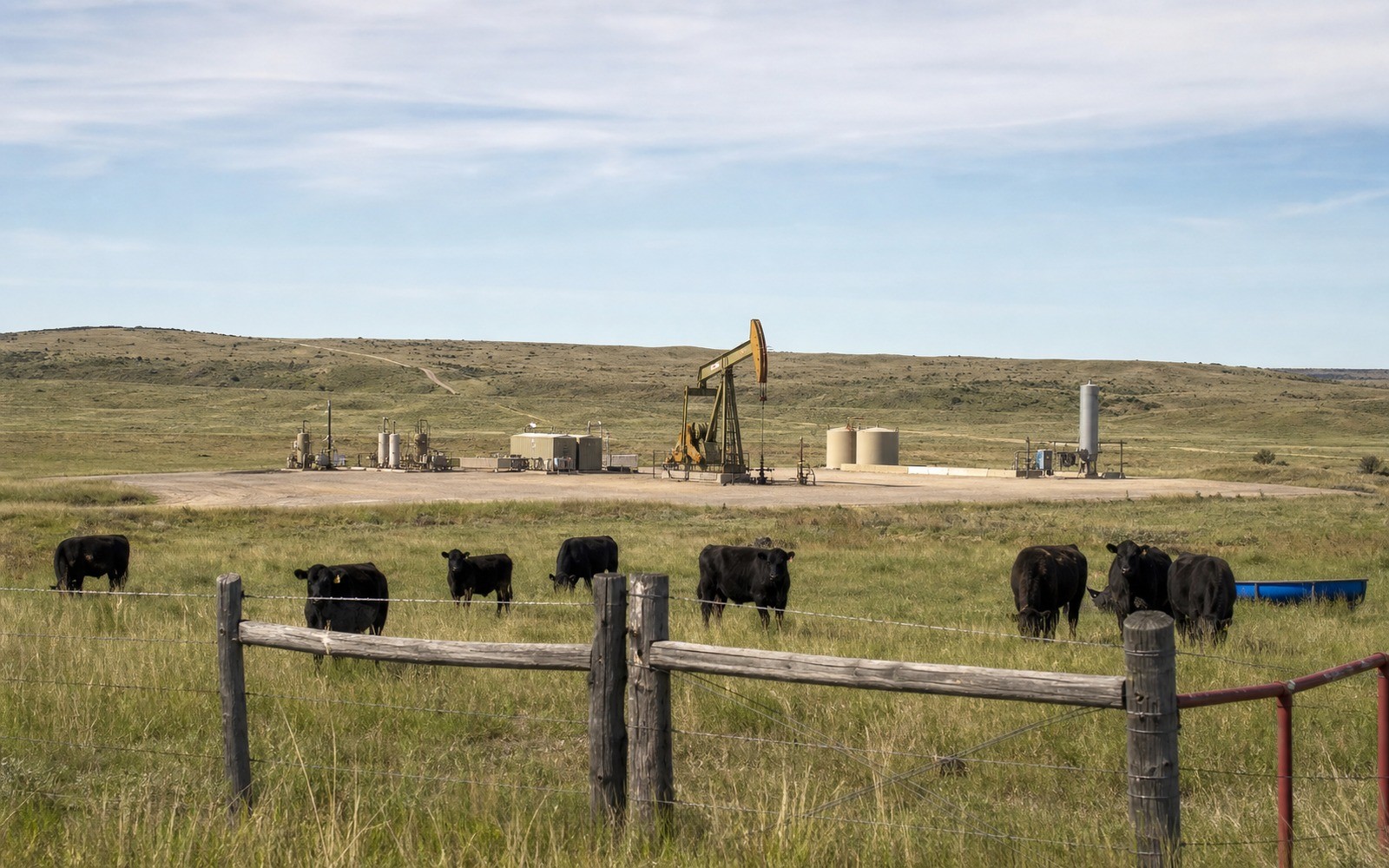
Laporte is an unincorporated community just northwest of Fort Collins, close enough to the mountains that the Niobrara and Codell zones that produce so heavily around Greeley and Kersey start pinching out or sitting too deep to interest most operators. If you hold minerals here, they may never have seen a modern horizontal well, even if surrounding Weld County sections have been drilled repeatedly.
Why this stretch drills less than the core
Formation depth and thickness change as you move west toward the Front Range, and Laporte sits near the edge of where Niobrara economics work for most operators. That's compounded by Larimer County's stricter local oil and gas regulations and setback requirements, which under Colorado's 2019 shift to local control (SB 19-181) give counties and cities more say over where wells can go relative to homes and waterways.
The practical result is that Laporte-area minerals are more likely to be undeveloped or tied to a single older well than to sit inside an active multi-well pad. That's not automatically bad news for value, but it does mean the story is different from a Kersey or Longmont interest.
How we evaluate acreage like this
We start by checking whether any well has ever been permitted or drilled on your section through COGCC records, then look at Larimer County's setback and land-use rules that would apply if an operator proposed new development. If there's no producing history, we're upfront that the value is speculative rather than income-based, and we price accordingly.
Anchor the Area to the Colorado Record
An area brief should identify the local property context without substituting a city or county label for tract evidence. The file connects the local tract to the legal description, ownership fraction, formation, producing unit, operator, lease position, paid decimal, statement history, and nearby activity. County records, state well information, payor documents, and the owner file may each answer a different part of the schedule. The review should preserve those source differences rather than smoothing them into a generic statewide summary.
Compare Local Tracts Through the Same Evidence Lines
A local tract can be compared with other Colorado interests only after the same evidence lines are populated: recorded right, paid interest, production, decline, lease burdens, inventory signals, title risk, and written offer scope. Basin proximity, operator activity, or a nearby completion can add context but does not guarantee development. A useful written comparison states the date of the evidence, the assumptions included, the property excluded, and the title or timing condition that could still change the result.
Check the Assumption Before It Enters the Schedule
Has there been any drilling near Laporte?
Some, but far less than the DJ Basin core in Weld County. We check well records specific to your section since it varies block by block this close to the foothills.
Do Larimer County's setback rules affect your mineral value?
They can. Stricter local setbacks reduce where new wells can be sited, which affects the likelihood of future development on undrilled acreage.
What if your mineral rights have never produced any royalty?
Undeveloped acreage can still have value, but it's priced as speculative potential rather than an income stream, and we'll explain that distinction clearly before quoting.