
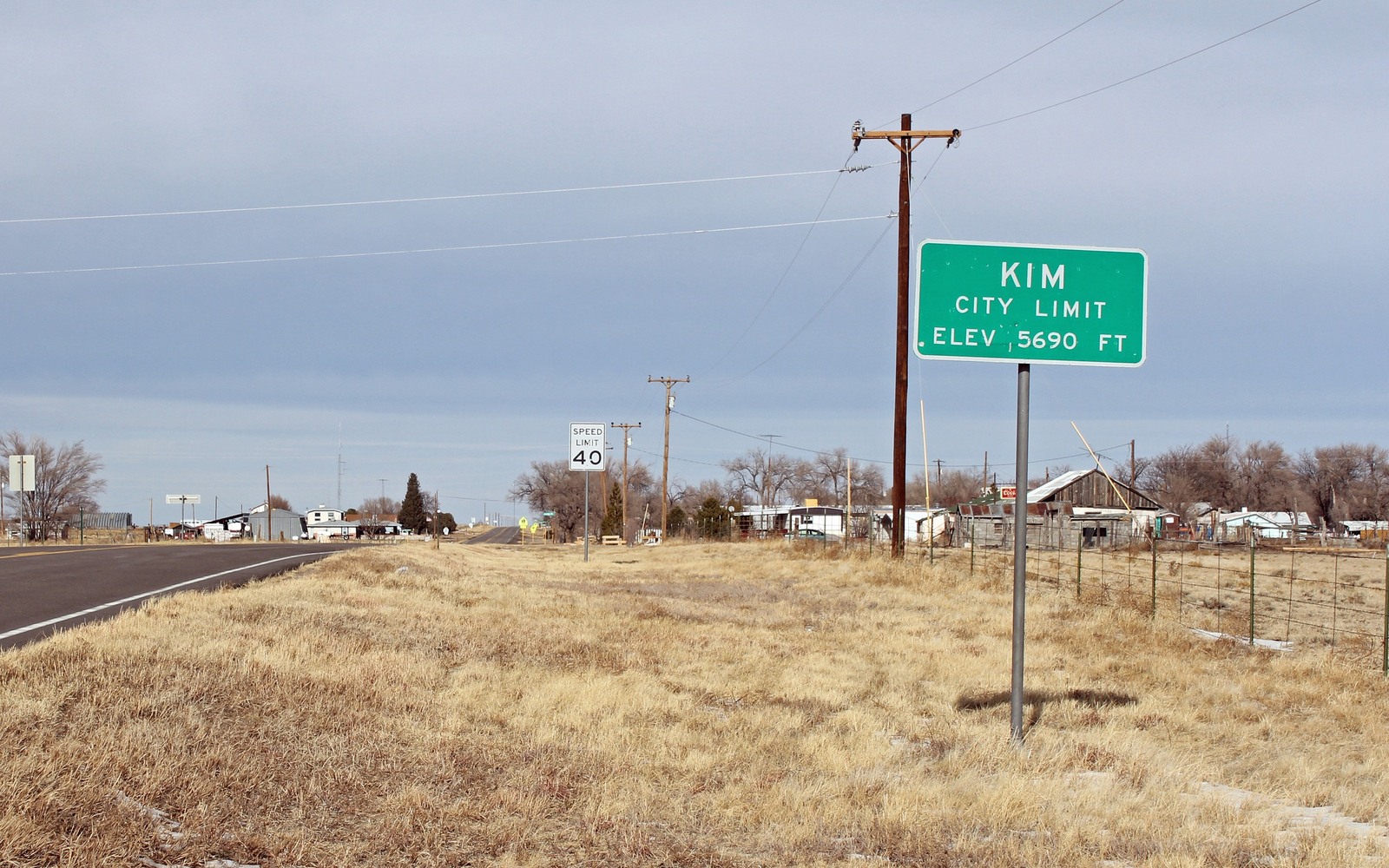
Sell Mineral Rights in Kim, CO
Kim sits over the southern edge of the Raton Basin, where coalbed methane wells have quietly produced gas out of the Vermejo and Raton formation coals since the 1990s.
Kim is remote Las Animas County ranch country close to the New Mexico line, and most mineral owners here inherited a fractional interest from a homestead or grazing allotment rather than bought into a play. Raton Basin CBM wells around Kim were drilled in waves — an initial push in the 1990s, another in the mid-2000s — and a lot of that early production has now settled into long, low, steady output that pays modestly but reliably.
Coalbed methane behaves differently than shale gas
Unlike Niobrara horizontals with a sharp early peak, CBM wells here typically ramp up slowly as water is pumped off the coal seam to release gas, then hold a flatter production curve for years. That means a Kim-area interest tied to an older CBM well may carry a more predictable royalty history than DJ Basin acreage, which matters when we're building a valuation off actual paid volumes instead of a projection.
Produced water and legacy operators
Raton Basin CBM development came with heavy produced-water handling, and some of the original operators from the 1990s boom have sold or merged their Las Animas County assets since. If your division order names a company that no longer exists, that's normal here — we trace the current operator of record through Colorado Oil and Gas Conservation Commission filings before we quote anything.
What your interest is likely worth
Value depends on how much of the original coal seam gas has already been produced and how the well is declining now. Mature CBM wells with 20-plus years of history give us a clean decline trend to work from; newer or shut-in wells take more digging. Either way we hedge our number to recent royalty activity rather than quoting a flat per-acre figure.
Anchor the Area to the Colorado Record
An area brief should identify the local property context without substituting a city or county label for tract evidence. The file connects the local tract to the legal description, ownership fraction, formation, producing unit, operator, lease position, paid decimal, statement history, and nearby activity. County records, state well information, payor documents, and the owner file may each answer a different part of the schedule. The review should preserve those source differences rather than smoothing them into a generic statewide summary.
Compare Local Tracts Through the Same Evidence Lines
A local tract can be compared with other Colorado interests only after the same evidence lines are populated: recorded right, paid interest, production, decline, lease burdens, inventory signals, title risk, and written offer scope. Basin proximity, operator activity, or a nearby completion can add context but does not guarantee development. A useful written comparison states the date of the evidence, the assumptions included, the property excluded, and the title or timing condition that could still change the result.
Check the Assumption Before It Enters the Schedule
Is coalbed methane the same as regular natural gas?
Chemically similar, but it's produced from coal seams rather than shale or sandstone, and the well behavior — slow ramp-up, long flat tail — is different, which affects how we value the interest.
your division order lists a company you have never heard of. Is that a problem?
No. Several original Raton Basin CBM operators sold their Las Animas County assets years ago. We verify the current operator of record before quoting.
How do you find your legal description if you have lost the deed?
The Las Animas County clerk and recorder's office can pull it from your grantor's name or a prior deed reference. We can help point you to the right filing once you give us what you have.