
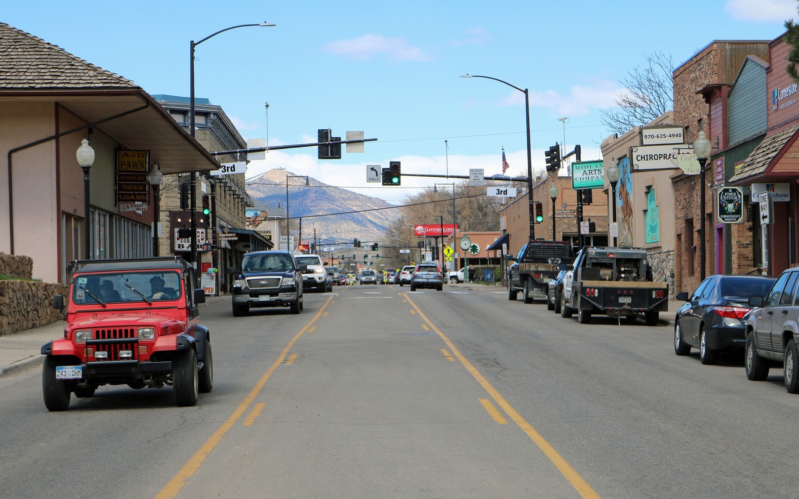
Sell Mineral Rights in Rifle, CO
Rifle sits in the Piceance Basin's productive core, close enough to the Rulison and Mamm Creek fields that this stretch of Garfield County saw some of the most intensive natural gas drilling in the state through the 2000s.
Rifle's modern oil and gas economy grew out of dense Williams Fork gas development, but the area also carries older history: it sits near the site of the Rio Blanco underground nuclear test conducted in 1973 as part of the federal government's Plowshare program, an early and ultimately abandoned attempt to use nuclear detonations to stimulate tight gas production. That experiment failed to produce commercially usable gas and left a legacy of local skepticism toward some forms of unconventional development that predates today's hydraulic fracturing debates.
Modern Rulison and Mamm Creek field production
Today's gas production around Rifle comes from conventional horizontal and vertical drilling into the Williams Fork formation's tight sands, developed heavily by operators through the mid-to-late 2000s boom before the post-2009 gas price slowdown curbed new activity. Wells here follow a decline pattern typical of tight gas sands — a real early peak followed by a long, gradually tapering tail.
Because this area saw such concentrated development, a lot of Rifle-area mineral interests are tied to multiple wells across overlapping spacing units, and untangling exactly which wells your interest participates in is often the most important step before quoting.
What we check before quoting your interest
We pull COGCC production history for every well tied to your legal description, confirm current operator of record given how much Piceance asset ownership has changed since the 2009 slowdown, and build a valuation off actual paid volumes across your full unit exposure rather than a single well's number.
Anchor the Area to the Colorado Record
An area brief should identify the local property context without substituting a city or county label for tract evidence. The file connects the local tract to the legal description, ownership fraction, formation, producing unit, operator, lease position, paid decimal, statement history, and nearby activity. County records, state well information, payor documents, and the owner file may each answer a different part of the schedule. The review should preserve those source differences rather than smoothing them into a generic statewide summary.
Compare Local Tracts Through the Same Evidence Lines
A local tract can be compared with other Colorado interests only after the same evidence lines are populated: recorded right, paid interest, production, decline, lease burdens, inventory signals, title risk, and written offer scope. Basin proximity, operator activity, or a nearby completion can add context but does not guarantee development. A useful written comparison states the date of the evidence, the assumptions included, the property excluded, and the title or timing condition that could still change the result.
Check the Assumption Before It Enters the Schedule
What was the Rio Blanco nuclear test near Rifle?
A 1973 federal experiment that detonated a nuclear device underground to try stimulating tight gas production. It didn't produce commercially usable gas and has no bearing on current oil and gas leasing or production.
Is gas drilling still active around Rifle?
At a lower intensity than the mid-2000s peak, though ongoing. We check current COGCC activity for your specific wells before quoting.
Why might your mineral interest be tied to several wells?
Dense development in this part of Garfield County often means multiple wells across overlapping units tie into a single mineral interest, which we map out before quoting.