
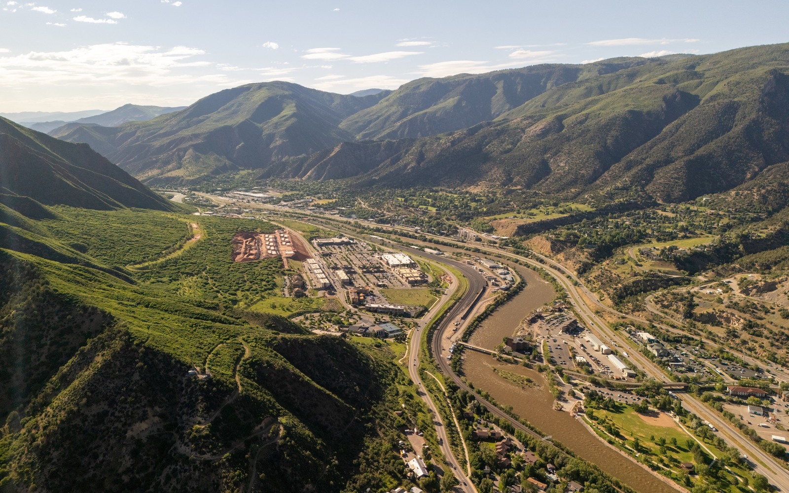
Sell Mineral Rights in Glenwood Springs, CO
Glenwood Springs is the Garfield County seat, and mineral ownership tied to this area sits close to some of the Piceance Basin's most productive ground around Rifle, Silt, and Parachute.
Garfield County has seen real boom-and-slowdown cycles in Piceance gas development, with concentrated horizontal drilling in the Mamm Creek and Rulison fields east of Glenwood Springs through the 2000s and periodic re-permitting activity since, tied closely to natural gas price cycles.
If your family has held minerals in this county for a while, there is a decent chance the interest has seen at least one active period of production, even if things have gone quiet more recently. We start by checking your division order and lease history against Garfield County records.
Mamm Creek and Rulison field history
These fields east of Glenwood Springs saw dense vertical and directional drilling during the mid-2000s boom. Many interests here have long production histories with correspondingly long, gradual decline curves, which we price against your actual trailing check stub data.
Why Piceance activity runs in cycles
Unlike the DJ Basin's oil-driven economics, Piceance wells are primarily gas plays, which means development pace here tracks natural gas prices more directly. Periods of low gas prices have meant less new drilling, even when existing wells kept producing steadily.
Garfield County title work
We pull recorded leases, division orders, and unit agreements from the Garfield County Clerk and Recorder to confirm your net revenue interest, particularly important here given how many operators have changed hands on Piceance assets over the years.
Selling a portion of a Garfield County interest
Not every owner wants to sell an entire interest outright. We can structure a partial sale, cashing out a share of your Garfield County minerals now while you retain the remainder and continue collecting royalties on what you keep.
Anchor the Area to the Colorado Record
An area brief should identify the local property context without substituting a city or county label for tract evidence. The file connects the local tract to the legal description, ownership fraction, formation, producing unit, operator, lease position, paid decimal, statement history, and nearby activity. County records, state well information, payor documents, and the owner file may each answer a different part of the schedule. The review should preserve those source differences rather than smoothing them into a generic statewide summary.
Compare Local Tracts Through the Same Evidence Lines
A local tract can be compared with other Colorado interests only after the same evidence lines are populated: recorded right, paid interest, production, decline, lease burdens, inventory signals, title risk, and written offer scope. Basin proximity, operator activity, or a nearby completion can add context but does not guarantee development. A useful written comparison states the date of the evidence, the assumptions included, the property excluded, and the title or timing condition that could still change the result.
Check the Assumption Before It Enters the Schedule
Why has activity near Glenwood Springs slowed at times?
Piceance wells are primarily gas plays, and development pace tracks natural gas prices, which have been softer at various points over the past decade.
Is an older, declined well still worth selling?
Often yes. We price the remaining production tail off your actual check stub history rather than assuming peak output.
your royalty operator has changed names over the years. Is that normal?
Yes, Piceance assets have changed hands between operators multiple times. We confirm the current operator before finalizing an offer.
What documents help most?
A division order and several months of recent check stubs give us the clearest picture of current net revenue interest and decline trend.
Can you sell only part of your Garfield County mineral interest?
Yes, partial sales are common here. You keep a share of future production while getting cash today for the rest.