
Sell Mineral Rights in Byers, CO
Byers is a small farming community in eastern Arapahoe County, and mineral ownership out here follows the pattern common to Colorado's agricultural counties — old severances, family inheritance, and leases that have sat quiet for years at a time.
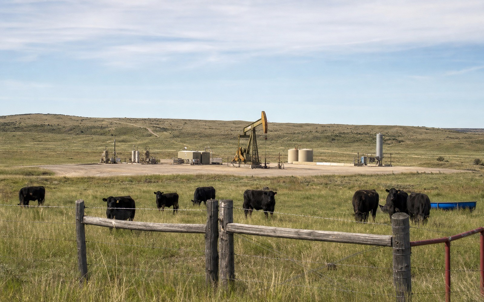
This part of the county sits on the DJ Basin's southern flank, with a mix of legacy vertical wells and occasional newer leasing activity as operators periodically test acreage further from the Wattenberg core. If you hold minerals connected to a Byers-area legal description, the honest starting point is checking whether it's currently under lease and whether any nearby permits have been filed, rather than assuming either total inactivity or imminent development.
A slower, steadier development pattern
Unlike the multi-well pad development common in Weld County, activity around Byers has tended to be more sporadic — individual wells drilled as operators pick up specific leases rather than systematic full-section development. That means production history here, where it exists, is more likely to come from an older conventional well with a gentler decline than a recent horizontal completion.
What we check before quoting
We pull current state permit and lease filings against your legal description, review any royalty history if the interest has produced, and confirm your decimal ownership through the Arapahoe County Clerk and Recorder. Byers-area interests are often small fractional shares split among several heirs, which we buy routinely.
Comparing a Byers interest to Weld County acreage
If you're comparing what you've heard about Weld County mineral values to your own Byers-area interest, expect the numbers to differ meaningfully. This part of Arapahoe County sits on the DJ Basin's southern flank rather than in the Wattenberg core, with historically lighter and more sporadic development, so both production volumes and near-term development odds tend to run lower here.
Anchor the Area to the Colorado Record
An area brief should identify the local property context without substituting a city or county label for tract evidence. The file connects the local tract to the legal description, ownership fraction, formation, producing unit, operator, lease position, paid decimal, statement history, and nearby activity. County records, state well information, payor documents, and the owner file may each answer a different part of the schedule. The review should preserve those source differences rather than smoothing them into a generic statewide summary.
Compare Local Tracts Through the Same Evidence Lines
A local tract can be compared with other Colorado interests only after the same evidence lines are populated: recorded right, paid interest, production, decline, lease burdens, inventory signals, title risk, and written offer scope. Basin proximity, operator activity, or a nearby completion can add context but does not guarantee development. A useful written comparison states the date of the evidence, the assumptions included, the property excluded, and the title or timing condition that could still change the result.
Check the Assumption Before It Enters the Schedule
Is there active leasing near Byers right now?
It varies. We check current filings against your specific legal description rather than assuming a flat answer for the whole area.
A Colorado mineral-owning family's lease hasn't paid in years — is it still in effect?
It depends on the lease terms and whether it's been held by production. We review this directly with the operator of record and the state's filings.
Do you buy small inherited fractional shares?
Yes, this is one of the most common ownership situations we work with in this part of the county.
Why is your Byers-area interest valued differently than Weld County minerals you have heard about?
This area sits on the basin's southern flank with historically lighter development than the Wattenberg core, so we price it against realistic local activity rather than core-area comparables. That's not a judgment on your ownership, just a reflection of local activity levels.