
Sell Mineral Rights in Carbonate, CO
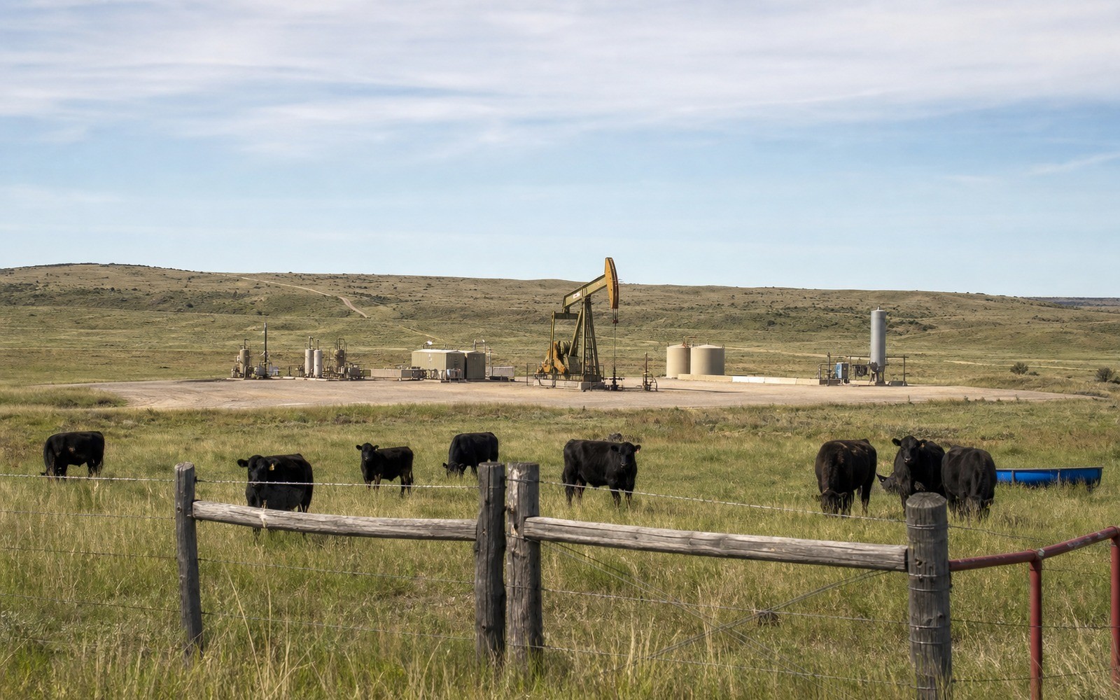
Carbonate is a sparsely populated, largely historic area of Garfield County, and mineral interests connected to legal descriptions here often reflect the same tight-gas leasing that shaped the broader Piceance Basin decades before recent drilling slowed.
With little current population and limited recent infrastructure, this area hasn't seen the same intensity of gas development as the more actively drilled sections closer to Battlement Mesa and Parachute, but the underlying geology is part of the same Williams Fork tight-sands trend. If your family holds minerals here, checking current lease status and any nearby permitting is the practical first step, since production history in remote areas can be sparse or entirely absent.
Remote acreage, real geology
Being sparsely populated has cut both ways for this area historically — it's kept surface-use conflicts to a minimum, which in principle makes new drilling easier to permit, but it's also meant less operator attention overall compared to more actively developed acreage nearby. A tract here can sit undeveloped for years without that reflecting anything wrong with the underlying rock.
What we look for before an offer
We check whether your legal description falls within any historical or active gas unit, review the state's permit and production database for nearby activity, and confirm ownership through the Garfield County Clerk and Recorder. Non-producing remote interests are priced conservatively but not dismissed outright, since basin-wide gas activity can shift with pricing.
Small inherited interests are common here
Given how sparsely this area was ever settled, it's typical for a current mineral interest to represent one branch of a family that held onto a piece of a much larger original homestead or ranch grant. Confirming your exact share through the county record is worth doing before assuming an offer isn't worth pursuing, since even a modest fractional interest in an area with real gas geology underneath it can carry genuine value.
Anchor the Area to the Colorado Record
An area brief should identify the local property context without substituting a city or county label for tract evidence. The file connects the local tract to the legal description, ownership fraction, formation, producing unit, operator, lease position, paid decimal, statement history, and nearby activity. County records, state well information, payor documents, and the owner file may each answer a different part of the schedule. The review should preserve those source differences rather than smoothing them into a generic statewide summary.
Compare Local Tracts Through the Same Evidence Lines
A local tract can be compared with other Colorado interests only after the same evidence lines are populated: recorded right, paid interest, production, decline, lease burdens, inventory signals, title risk, and written offer scope. Basin proximity, operator activity, or a nearby completion can add context but does not guarantee development. A useful written comparison states the date of the evidence, the assumptions included, the property excluded, and the title or timing condition that could still change the result.
Check the Assumption Before It Enters the Schedule
Is there any current activity near Carbonate?
Less than the more actively drilled parts of Garfield County, but we check current state filings against your specific legal description before concluding either way.
Is a remote, undeveloped interest still worth pursuing?
Often yes. We evaluate remote non-producing interests against realistic regional activity trends rather than assuming zero value.
How do you confirm what you own if there's little recent paperwork?
We can trace ownership through Garfield County deed and probate records using whatever partial information you have.
Is a very small inherited fraction worth the trouble to sell?
Often yes. We evaluate small fractional interests routinely and can usually give you a preliminary sense of value quickly once we have your legal description.