
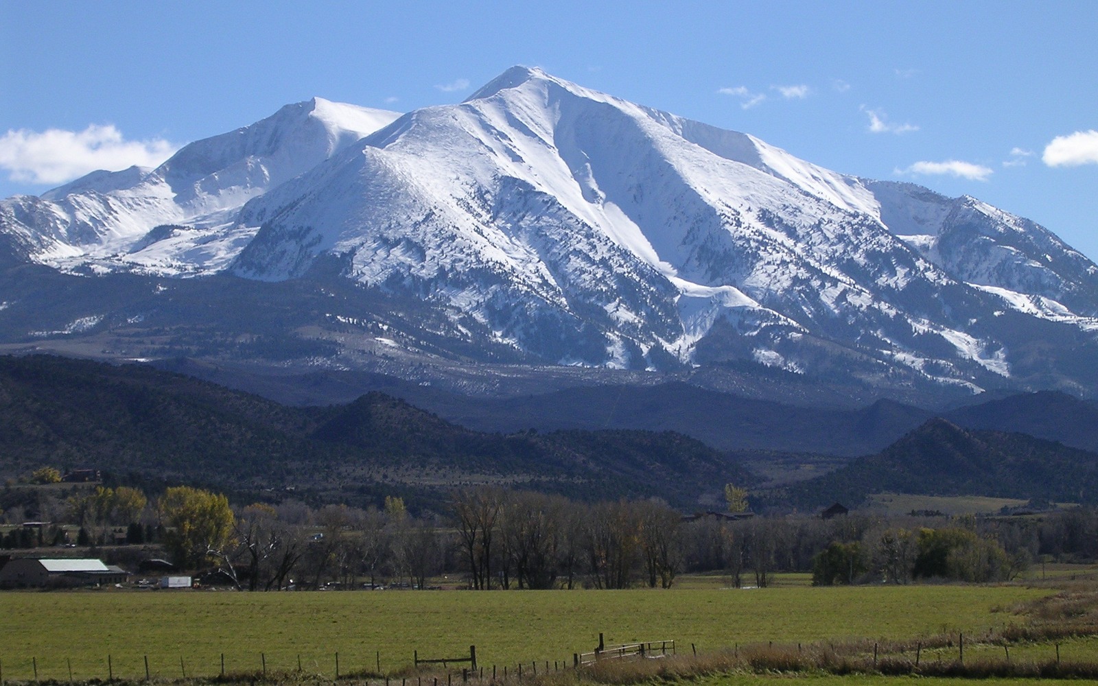
Sell Mineral Rights in Carbondale, CO
Carbondale has grown into a mountain resort and arts community over the past few decades, but the ground beneath and around it sits at the western edge of Garfield County's Piceance Basin gas country, and legacy mineral interests here reflect that earlier working landscape.
Most Carbondale-area mineral interests trace back to ranch and homestead-era deeds from before the town's tourism-driven growth, when the surrounding valley was primarily agricultural and gas leasing was a routine part of land transactions. As the town has grown as a residential and resort destination, new surface drilling within town limits has become less realistic, though the underlying mineral estate remains a separate, transferable asset.
Resort growth versus tight-gas geology
The valley's shift toward tourism and high-value residential real estate has made new pad siting within Carbondale itself unlikely, similar to the dynamic in built-up Front Range suburbs, even though the underlying Piceance gas geology extends through this part of Garfield County. Development, where it happens, is more likely on outlying acreage rather than inside town limits.
What we check before an offer
We confirm whether your legal description sits within any existing gas unit, review production history if the interest has produced, and check current operator-of-record filings with the state. Given the area's slower recent development pace compared to the mid-2000s boom, we price non-producing interests conservatively but not at zero.
Confirming a legacy severance
If you're not sure whether your family retained minerals or sold them along with the surface generations ago, the Garfield County Clerk and Recorder's deed index is the place to check. Ranch-era deeds in this valley often included explicit mineral reservation language, and tracing that chain is usually the fastest way to know whether you have a real interest worth pursuing.
Anchor the Area to the Colorado Record
An area brief should identify the local property context without substituting a city or county label for tract evidence. The file connects the local tract to the legal description, ownership fraction, formation, producing unit, operator, lease position, paid decimal, statement history, and nearby activity. County records, state well information, payor documents, and the owner file may each answer a different part of the schedule. The review should preserve those source differences rather than smoothing them into a generic statewide summary.
Compare Local Tracts Through the Same Evidence Lines
A local tract can be compared with other Colorado interests only after the same evidence lines are populated: recorded right, paid interest, production, decline, lease burdens, inventory signals, title risk, and written offer scope. Basin proximity, operator activity, or a nearby completion can add context but does not guarantee development. A useful written comparison states the date of the evidence, the assumptions included, the property excluded, and the title or timing condition that could still change the result.
Check the Assumption Before It Enters the Schedule
Is there active gas drilling right in Carbondale?
Unlikely within town limits given the shift toward residential and resort development, though outlying Garfield County acreage still sees selective activity. We check your specific legal description.
A Colorado mineral-owning family's interest came from an old ranch deed — is that typical here?
Yes, this is the most common origin for mineral interests in this part of the valley.
Is a low-activity interest still worth selling?
Often yes, since it converts an uncertain, indefinite holding into a fixed amount today.
How do you find out if a Colorado mineral-owning family kept mineral rights when the ranch was sold?
We can search Garfield County deed records for the original mineral reservation language and trace ownership forward to confirm your current interest. That research is included as part of any evaluation we do, at no cost to you before an offer is made.