
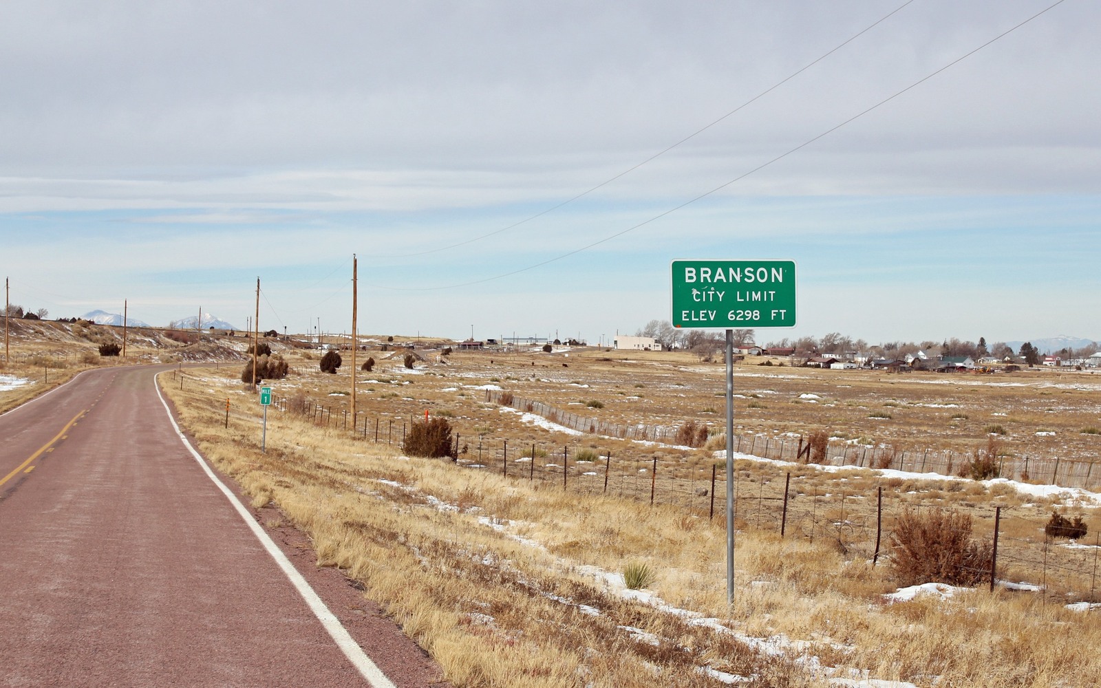
Sell Mineral Rights in Branson, CO
Branson sits close to the New Mexico line in the far southern reach of Las Animas County, well within the Raton Basin's coalbed methane footprint but far from the more actively managed acreage closer to Trinidad.
This is genuinely remote ranch country, and mineral interests connected to Branson-area legal descriptions often belong to families who've held the land, or just the severed minerals, for multiple generations without living anywhere nearby. Coalbed methane development reached into this part of the basin during the 1990s and 2000s boom, though with less density than the acreage closer to the county seat.
CBM wells at the basin's edge
Wells in this part of the Raton Basin tend to be lower-volume than those in the more concentrated core acreage further north, reflecting both coal seam thickness variation and the more sporadic pace of development this far south. That said, coalbed methane wells generally produce a long, flat tail once past initial dewatering, so an older well here can still be paying modest, steady royalties decades after it was drilled.
Tracing ownership from a distance
Because so many owners connected to this area have moved away over the generations, we do most of the ownership confirmation work through the Las Animas County Clerk and Recorder's records directly, without requiring you to visit Trinidad or track down old paperwork yourself. A rough sense of your family's original land or lease is usually enough to start the search.
Weighing a sale given the distance involved
For owners who've never visited this part of Colorado and have no plans to, holding an interest indefinitely can feel like managing an asset from too far away to track effectively. Selling converts that distant, low-attention holding into a known amount today, without requiring you to monitor lease status or royalty payments from a place you may never see in person.
Anchor the Area to the Colorado Record
An area brief should identify the local property context without substituting a city or county label for tract evidence. The file connects the local tract to the legal description, ownership fraction, formation, producing unit, operator, lease position, paid decimal, statement history, and nearby activity. County records, state well information, payor documents, and the owner file may each answer a different part of the schedule. The review should preserve those source differences rather than smoothing them into a generic statewide summary.
Compare Local Tracts Through the Same Evidence Lines
A local tract can be compared with other Colorado interests only after the same evidence lines are populated: recorded right, paid interest, production, decline, lease burdens, inventory signals, title risk, and written offer scope. Basin proximity, operator activity, or a nearby completion can add context but does not guarantee development. A useful written comparison states the date of the evidence, the assumptions included, the property excluded, and the title or timing condition that could still change the result.
Check the Assumption Before It Enters the Schedule
Is production near Branson as strong as closer to Trinidad?
Generally more modest, reflecting the more sporadic development pace this far south in the basin. We check the specific well or unit tied to your legal description before quoting.
A Colorado mineral-owning family moved away from this area generations ago — can you still confirm our interest?
Yes, we handle the county record research directly and can work entirely remotely with whatever partial family information you have.
Do older CBM wells in this area still pay steadily?
Many do, since coalbed methane wells typically settle into a long, flat production tail after their initial dewatering period, unlike the steep decline of a horizontal oil well.
Does it matter that you have never been to Branson or Las Animas County?
No. We handle the entire evaluation and transaction remotely, and your physical distance from the property has no bearing on your ownership or the process.