
Sell Mineral Rights in Arapahoe, CO
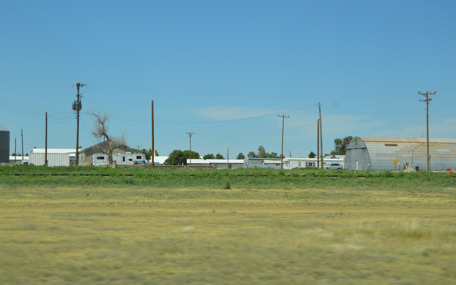
Arapahoe is a small farming community out on Colorado's far eastern plains in Cheyenne County, close enough to the Kansas line that its oil history has always run on a different track than the Wattenberg headlines further northwest.
Wells in this part of the state are typically shallow conventional producers targeting the same broad Niobrara chalk and Codell sandstone found in the DJ Basin core, but at a much simpler, less-developed stage. Vertical wells here, some drilled decades ago by small independent operators, still quietly produce modest volumes as classic stripper wells rather than the high-volume horizontal completions common in Weld County.
A different well type, a different check
If your family's minerals near Arapahoe have produced, the royalty checks reflect a well that peaked modestly and has settled into decades of low, steady output rather than a horizontal well's steep early decline. That's normal for eastern-plains stripper production and shouldn't be compared directly to what you might hear about Weld County minerals.
Wheat-farm ownership and checkerboard patents
Much of the land around Arapahoe was settled under federal homestead and railroad land-grant programs, producing a genuinely checkerboarded pattern of ownership across the county that's only grown more fragmented as farm families' mineral interests have split through inheritance over multiple generations. Confirming your exact share usually starts with the deed and probate record at the Cheyenne County Clerk and Recorder in Cheyenne Wells.
Is a sale or a lease the better move here
For a modest, steady-producing stripper-well interest, the choice between leasing and selling comes down to how much you value predictable but small ongoing income versus a lump sum now. Because eastern-plains wells decline slowly, holding an interest here doesn't carry the same urgency as one attached to a fast-declining horizontal well, but that also means the upside from waiting is limited. We're happy to walk through the numbers either way.
Anchor the Area to the Colorado Record
An area brief should identify the local property context without substituting a city or county label for tract evidence. The file connects the local tract to the legal description, ownership fraction, formation, producing unit, operator, lease position, paid decimal, statement history, and nearby activity. County records, state well information, payor documents, and the owner file may each answer a different part of the schedule. The review should preserve those source differences rather than smoothing them into a generic statewide summary.
Compare Local Tracts Through the Same Evidence Lines
A local tract can be compared with other Colorado interests only after the same evidence lines are populated: recorded right, paid interest, production, decline, lease burdens, inventory signals, title risk, and written offer scope. Basin proximity, operator activity, or a nearby completion can add context but does not guarantee development. A useful written comparison states the date of the evidence, the assumptions included, the property excluded, and the title or timing condition that could still change the result.
Check the Assumption Before It Enters the Schedule
Is there any current drilling near Arapahoe?
Activity on the far eastern plains is sparser than the DJ Basin core, though smaller independent operators periodically test the area. We check current state permit filings against your specific tract.
Why is your royalty check so much smaller than what you have heard about Weld County?
Wells here are typically shallow conventional stripper wells with modest volumes, a fundamentally different well type than a modern Weld County horizontal completion.
How do you trace ownership from an old homestead patent?
Start with the deed and probate chain at the Cheyenne County Clerk and Recorder. We can help with that research directly.
Should you keep collecting small royalty checks or sell now?
That depends on how much you value the predictability of ongoing income versus a lump sum today. We can show you both sides so the decision is informed rather than a guess.