
Sell Mineral Rights in Arvada, CO
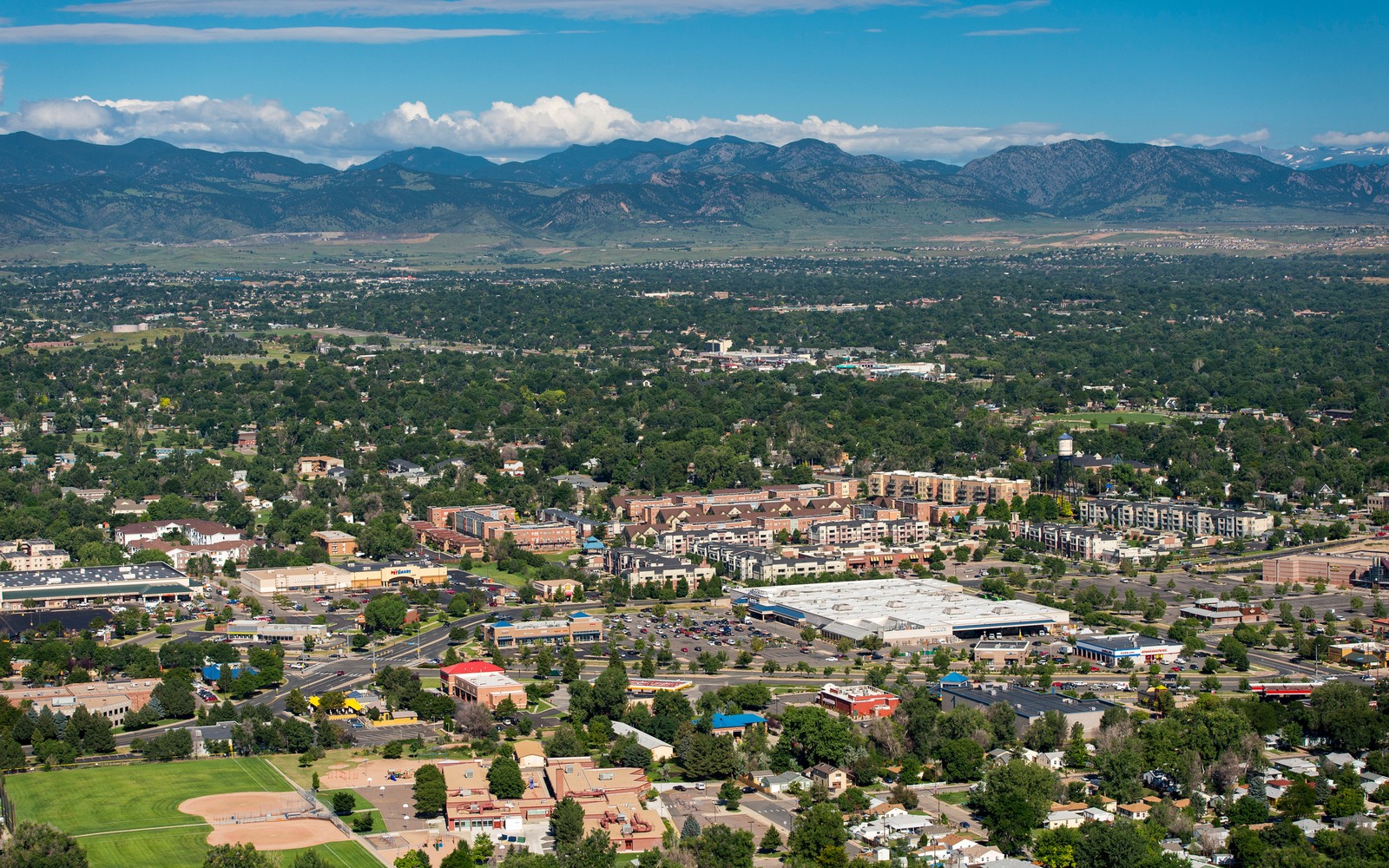
Arvada straddles Jefferson and Adams counties on the western edge of metro Denver, where DJ Basin geology runs into decades-old suburban development rather than open farmland.
Mineral interests connected to Arvada legal descriptions are usually tied to agricultural-era severances that predate the city's suburban growth by decades. Because the area was largely built out before the Wattenberg Field's modern horizontal drilling boom took off, most of what production history exists here comes from older vertical wells rather than recent multi-well pads.
A built-out surface limits new pads
With dense residential and commercial development already in place, new well siting in and around Arvada is constrained in ways that open agricultural land in Weld County isn't. That doesn't erase mineral value — it mostly means development, if it happens, is more likely to come from a horizontal well drilled from a pad located some distance away, reaching under Arvada from outside city limits.
What we check for an Arvada tract
We confirm whether your legal description sits inside any existing unit, what operator of record is listed, and whether there's a production history to build a decline curve from. If the interest has sat dormant for years without a lease, that's common in built-out suburban areas and doesn't mean it lacks value — it means the offer reflects lower near-term development odds rather than an active well's cash flow.
Comparing your check to a Weld County neighbor's
If you've heard about strong royalty checks from Weld County minerals and are comparing that to a much quieter Arvada-area interest, the gap usually comes down to well density and lateral length rather than anything wrong with your ownership. Weld County pads routinely reach further and pull from more wellbores per section than the older, more constrained development typical of the western metro fringe.
Anchor the Area to the Colorado Record
An area brief should identify the local property context without substituting a city or county label for tract evidence. The file connects the local tract to the legal description, ownership fraction, formation, producing unit, operator, lease position, paid decimal, statement history, and nearby activity. County records, state well information, payor documents, and the owner file may each answer a different part of the schedule. The review should preserve those source differences rather than smoothing them into a generic statewide summary.
Compare Local Tracts Through the Same Evidence Lines
A local tract can be compared with other Colorado interests only after the same evidence lines are populated: recorded right, paid interest, production, decline, lease burdens, inventory signals, title risk, and written offer scope. Basin proximity, operator activity, or a nearby completion can add context but does not guarantee development. A useful written comparison states the date of the evidence, the assumptions included, the property excluded, and the title or timing condition that could still change the result.
Check the Assumption Before It Enters the Schedule
Can minerals under Arvada still be developed if the area is built out?
Yes, through directional or horizontal wells drilled from a pad sited outside the built-up area. It's a slower path than open farmland, but it's not closed off.
Your mineral interest spans the Adams-Jefferson county line — does that complicate things?
It can complicate title research slightly since records may sit in two county systems, but it doesn't affect the underlying mineral ownership. We handle both county record checks as part of the evaluation.
Is there any current production near Arvada?
Some older vertical wells exist in the broader area. We check the specific well or unit tied to your legal description before estimating value.
What's the fastest way to find out what you actually own?
Pull your deed and any lease assignment from the Adams or Jefferson County Clerk and Recorder, whichever county your legal description sits in. We can help interpret that record once you have it.