
Sell Mineral Rights in Todd Creek, CO
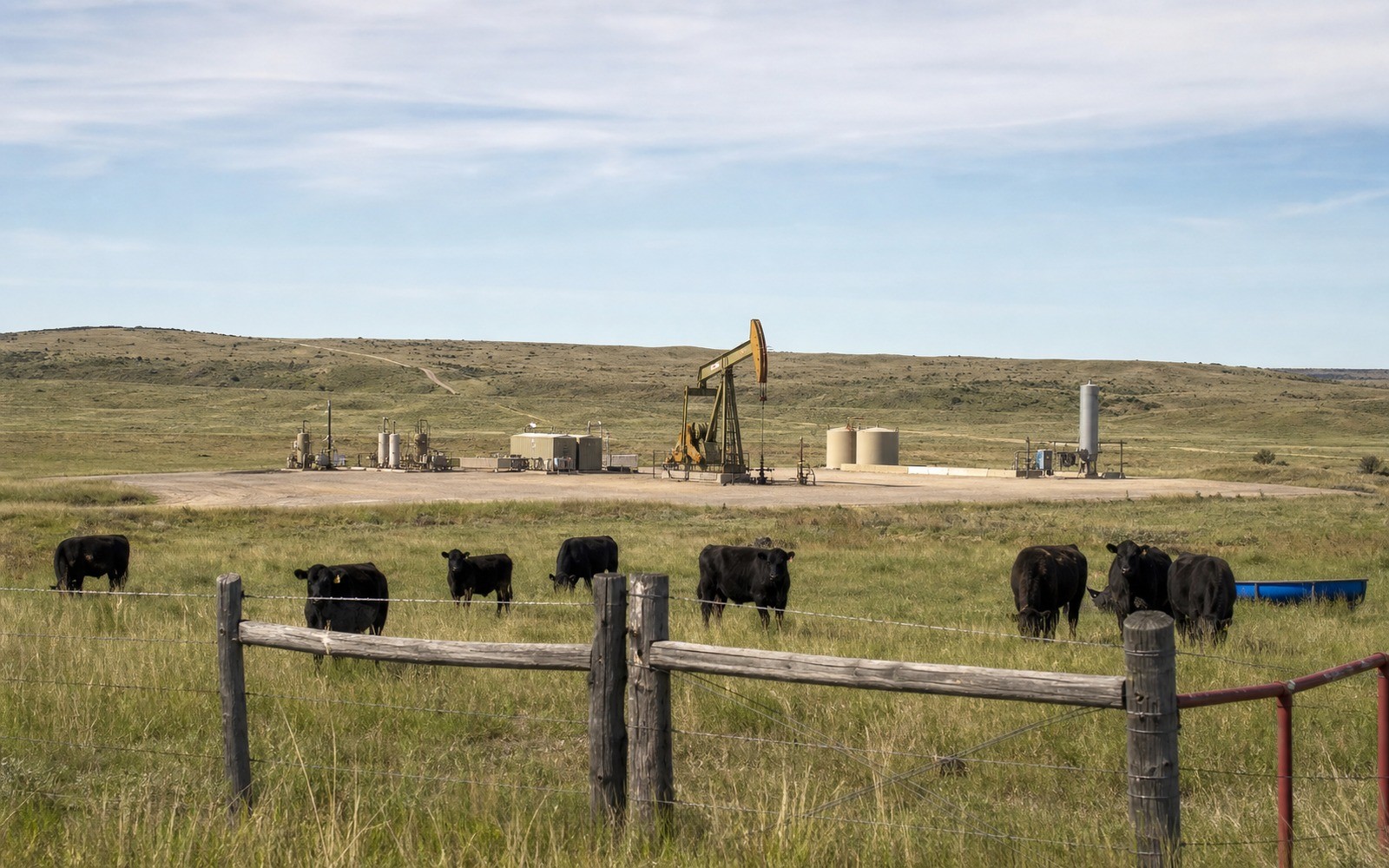
Todd Creek's ranchette-sized lots leave more room for a well pad than almost anywhere else this close to Denver.
Northeast of Brighton, Todd Creek is a community of larger acreages, horse property and rural residential parcels rather than tight subdivision lots, sitting on the Wattenberg trend's western Adams County fringe. That lower density is worth noting because it genuinely changes what's feasible for a surface location compared to denser neighborhoods just a few miles away.
A lot of Todd Creek owners bought their acreage for the rural lifestyle without knowing what mineral rights came with the deed, so we spend real time explaining what was and wasn't conveyed with the surface.
Todd Creek's location between Brighton and the DJ Basin's western fringe means we frequently see interest levels here shift with whatever operator currently holds the surrounding leasehold.
More room, fewer setback constraints
Larger lot sizes mean statewide and local setback requirements are easier to satisfy around Todd Creek than in tightly platted subdivisions, since there's simply more distance available between a proposed pad and the nearest residence. That can make this corridor more attractive to operators than similarly positioned but denser Adams County ground.
Fringe-of-basin economics
Todd Creek sits toward the western edge of the productive Wattenberg trend rather than its deepest core, so well economics here should be benchmarked against western Adams County comps rather than central Weld County numbers, which tend to run stronger.
What we verify before quoting your interest
We check your parcel's lot size and position relative to current spacing units, confirm the Adams County chain of title, and price against comparable rural Adams County sales.
Anchor the Area to the Colorado Record
An area brief should identify the local property context without substituting a city or county label for tract evidence. The file connects the local tract to the legal description, ownership fraction, formation, producing unit, operator, lease position, paid decimal, statement history, and nearby activity. County records, state well information, payor documents, and the owner file may each answer a different part of the schedule. The review should preserve those source differences rather than smoothing them into a generic statewide summary.
Compare Local Tracts Through the Same Evidence Lines
A local tract can be compared with other Colorado interests only after the same evidence lines are populated: recorded right, paid interest, production, decline, lease burdens, inventory signals, title risk, and written offer scope. Basin proximity, operator activity, or a nearby completion can add context but does not guarantee development. A useful written comparison states the date of the evidence, the assumptions included, the property excluded, and the title or timing condition that could still change the result.
Check the Assumption Before It Enters the Schedule
Do larger lots really make drilling more likely?
They help. More distance between a proposed pad and neighboring homes generally makes setback compliance easier, though it's one factor among several we check.
How does Todd Creek compare to central Wattenberg?
It sits toward the western fringe of the productive trend, so we price against comparable western Adams County transactions rather than deep-core Weld County numbers.
What do you need to start?
Your mineral deed or a legal description of the property, which we use to confirm your chain of title through Adams County records.
you bought your property recently. Did you get the mineral rights too?
Not always. We check whether the seller reserved minerals in your deed before assuming you hold anything to sell.
Who currently holds the lease on land near Todd Creek?
That varies section to section. We check current COGCC operator and lease records for your specific tract before quoting a value.