
Sell Mineral Rights in Strasburg, CO
Strasburg is far enough from Denver's suburbs that drilling here still looks like a working landscape rather than a permitting fight.
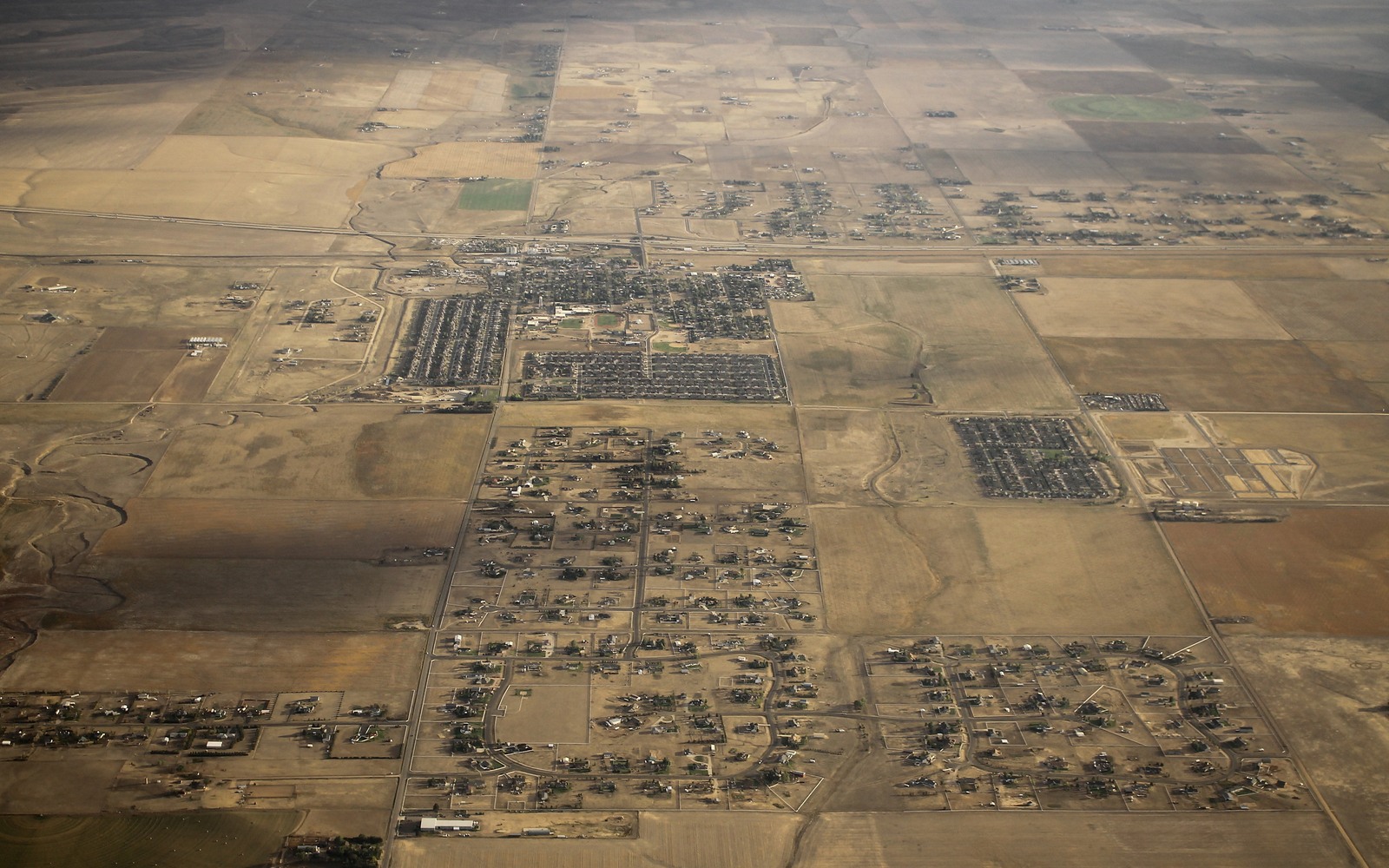
Out on the eastern edge of Adams County, Strasburg is grain country, wide open sections still mostly zoned agricultural, sitting on the eastern flank of the Wattenberg trend. That combination, real DJ Basin geology under land that hasn't been platted into subdivisions, tends to make mineral ownership here more straightforward than it is closer to the metro area.
Strasburg's grain elevators and open sections are a reminder that this is still working farmland first, oil and gas country second, which keeps most local transactions straightforward.
Eastern flank of Wattenberg, not the deep core
Strasburg sits toward the edge of the Wattenberg Field rather than its deepest, most productive core, so Niobrara and Codell economics here can run a notch below what you'd see in central Weld County. Operators still drill this ground, particularly with longer horizontal laterals that let a single pad reach acreage further from the wellsite, but the well economics and therefore the royalty value are tied to where exactly your section falls relative to the field's best rock.
Room to drill without the setback fights
Because the surface around Strasburg is still largely agricultural rather than residential, operators face fewer of the local setback and siting battles that slow permitting closer to Denver's suburbs. That doesn't guarantee faster drilling, but it does mean less of the political friction that's dragged out timelines in places like Adams County's denser subdivisions.
Pricing your Strasburg interest
We check your section against current spacing units, pull the Adams County Clerk and Recorder chain of title, and price against recent eastern Wattenberg comps rather than deep-core Weld County numbers that don't reflect your specific location.
Anchor the Area to the Colorado Record
An area brief should identify the local property context without substituting a city or county label for tract evidence. The file connects the local tract to the legal description, ownership fraction, formation, producing unit, operator, lease position, paid decimal, statement history, and nearby activity. County records, state well information, payor documents, and the owner file may each answer a different part of the schedule. The review should preserve those source differences rather than smoothing them into a generic statewide summary.
Compare Local Tracts Through the Same Evidence Lines
A local tract can be compared with other Colorado interests only after the same evidence lines are populated: recorded right, paid interest, production, decline, lease burdens, inventory signals, title risk, and written offer scope. Basin proximity, operator activity, or a nearby completion can add context but does not guarantee development. A useful written comparison states the date of the evidence, the assumptions included, the property excluded, and the title or timing condition that could still change the result.
Check the Assumption Before It Enters the Schedule
Is Strasburg's oil and gas value the same as central Weld County?
Not exactly. Strasburg sits on the eastern flank of Wattenberg, so we price against comps specific to that part of the field rather than deep-core numbers.
Does the farmland around Strasburg make drilling easier?
Generally yes, agricultural surface land tends to face fewer local siting disputes than dense residential development closer to Denver.
How is your Adams County chain of title confirmed?
We pull the record through the Adams County Clerk and Recorder and verify every transfer back to the original mineral reservation.
Is Strasburg part of any current drilling unit?
Some sections are, depending on how close your tract sits to active eastern Wattenberg development. We check the current COGCC unit filings for your specific legal description before quoting.