
Sell Mineral Rights in Stonewall Gap, CO
Stonewall Gap is about as far from an active rig as you can get in the Raton Basin, and that changes how we approach the valuation.
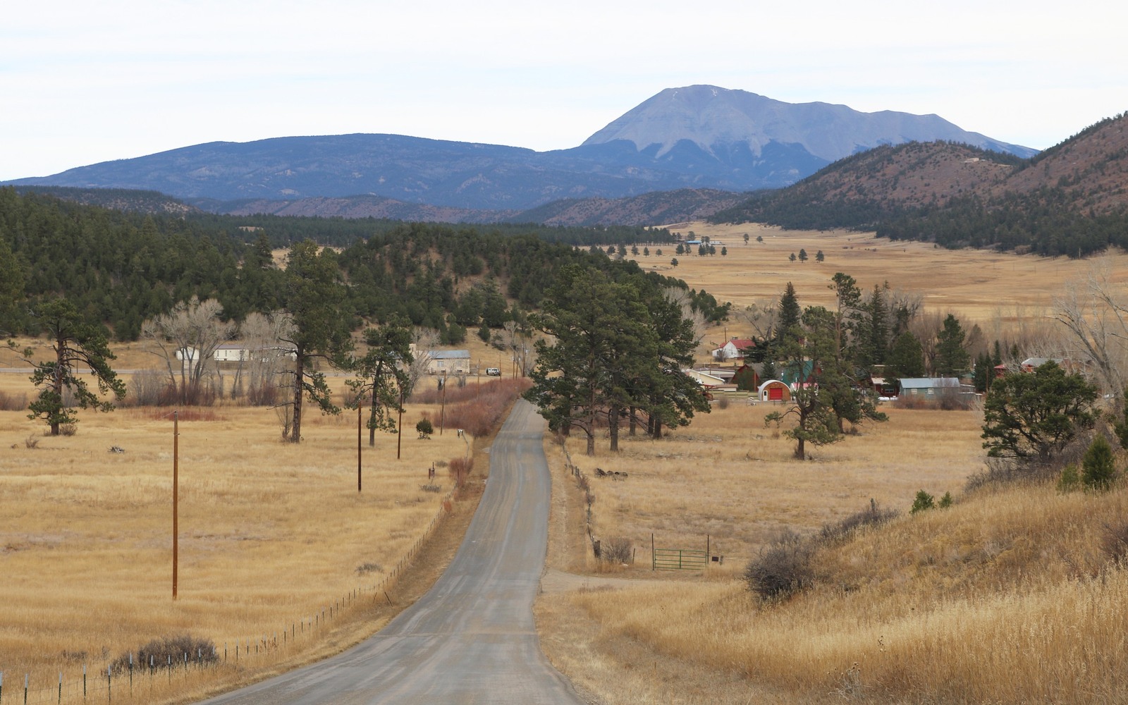
Tucked into the timbered country of southwestern Las Animas County near the New Mexico state line, Stonewall Gap sits on the sparse edge of the Raton Basin coalbed methane trend. Well density out here has always been low, and what activity existed peaked years ago, so an honest quote starts with being clear about what's realistic.
Given how remote this corner of Las Animas County is, we also check whether your tract has ever been leased at all, since some Stonewall Gap parcels have sat entirely outside any historical unit.
A low-density corner of the basin
The core of Raton Basin CBM development sat closer to Trinidad and the areas immediately around it, with well counts thinning noticeably as you move toward Stonewall Gap and the Culebra Range. Fewer wells means less production history to price against, so a Stonewall Gap interest is often valued more on its long-term positional upside than on a current royalty check.
Old coal and timber land history
Much of this ground was originally logged and mined for coal before any CBM well was ever drilled, and mineral reservations from that era can be layered and inconsistent parcel to parcel. We pull your chain of title through Las Animas County records in Trinidad to sort out exactly what you own before quoting anything.
What we look for before making an offer
We check whether your tract falls inside any existing spacing unit, whether it has ever produced, and how the coal and oil and gas estates were historically split, then price the interest against comparable low-activity Las Animas County transactions rather than basin averages that don't reflect this corner of the county.
Anchor the Area to the Colorado Record
An area brief should identify the local property context without substituting a city or county label for tract evidence. The file connects the local tract to the legal description, ownership fraction, formation, producing unit, operator, lease position, paid decimal, statement history, and nearby activity. County records, state well information, payor documents, and the owner file may each answer a different part of the schedule. The review should preserve those source differences rather than smoothing them into a generic statewide summary.
Compare Local Tracts Through the Same Evidence Lines
A local tract can be compared with other Colorado interests only after the same evidence lines are populated: recorded right, paid interest, production, decline, lease burdens, inventory signals, title risk, and written offer scope. Basin proximity, operator activity, or a nearby completion can add context but does not guarantee development. A useful written comparison states the date of the evidence, the assumptions included, the property excluded, and the title or timing condition that could still change the result.
Check the Assumption Before It Enters the Schedule
Has there ever been drilling near Stonewall Gap?
Some, mostly during the broader Raton Basin CBM push, but well density here is much lower than closer to Trinidad. We check the specific unit history for your tract.
Is your mineral interest worth anything if it's never produced?
Yes, though it typically prices lower than a currently producing interest. We're transparent about that difference when we quote.
What paperwork Do you need?
A mineral deed or legal description is enough for us to start the title check through Las Animas County records.
What if a Colorado mineral-owning family never leased this land at all?
That's common out here. We still value never-leased interests, based on their position relative to any nearby unit and the likelihood of future inclusion.