
Sell Mineral Rights in Shaw Heights, CO
Shaw Heights was platted as farmland turned subdivision two generations ago, and the mineral certificate that came out of that sale is often the last paper trail left.
Nobody drills new wells in the middle of an established Adams County subdivision, and Shaw Heights is about as built-out as it gets. What owners here usually hold isn't an active royalty interest, it's a legacy severed mineral estate from before the homes went up, and that changes how we approach valuation.
We work Shaw Heights transactions the same way we'd handle any severed mineral estate in built-out Adams County: confirm the reservation, confirm the current unit boundaries, and only then talk numbers.
Why a dense subdivision still carries mineral value
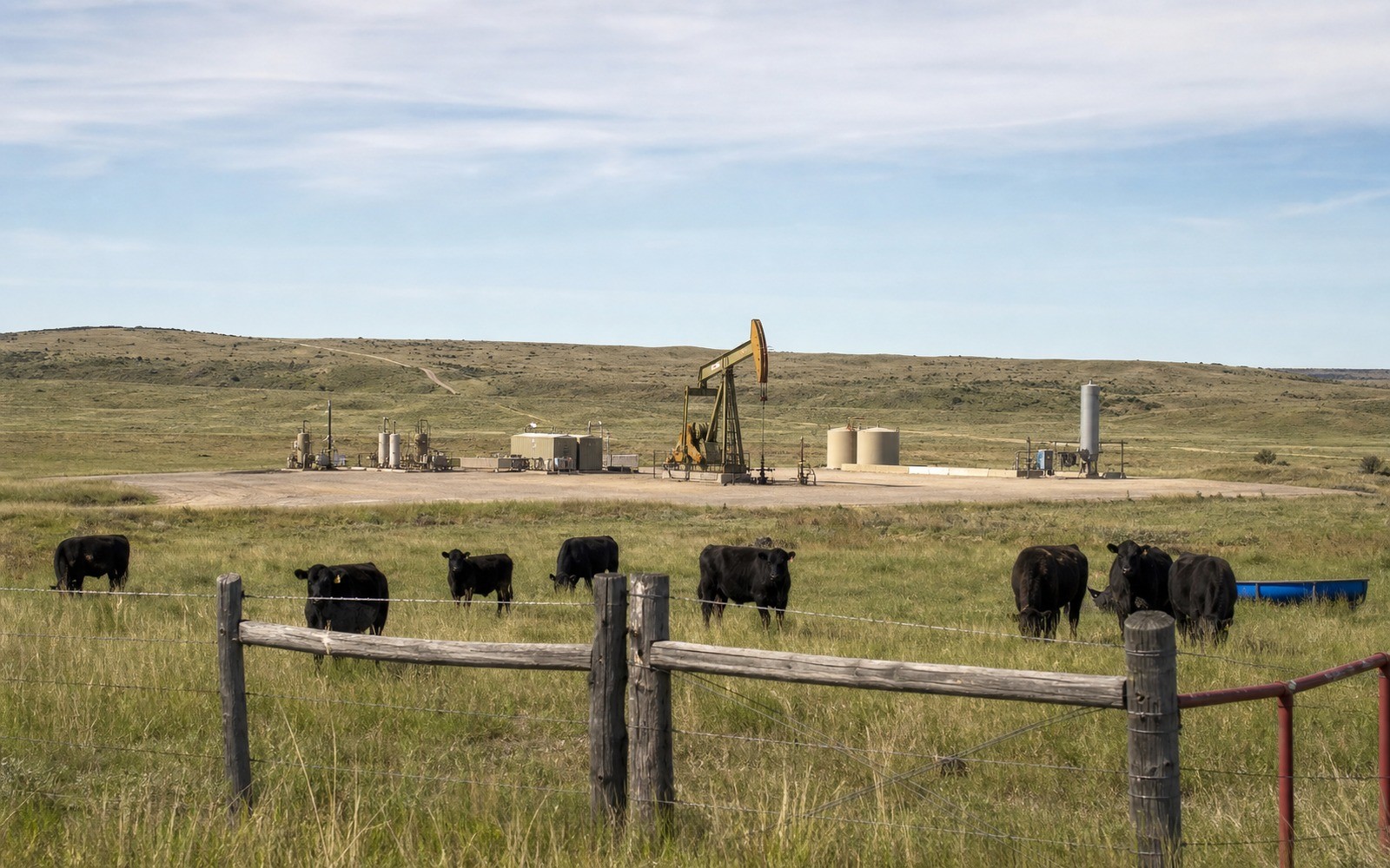
Wattenberg Field extends northeast from Shaw Heights into open Weld County ground where horizontal laterals routinely run two to three miles. Depending on how your section lines fall, a long lateral drilled from a pad well outside the subdivision can still be completed under Shaw Heights itself and pull your fractional interest into a spacing unit without a single truck ever entering your neighborhood.
That's the scenario we check for first: whether your legal description falls inside a currently defined or reasonably projected horizontal unit, even though the surface above it is entirely residential.
Confirming what you actually hold
Adams County land in this pocket changed hands multiple times through the mid-20th century subdivision boom, and mineral reservations from that era are often recorded in old deed books rather than clean modern title. We run the chain through the Adams County Clerk and Recorder before quoting anything, because a fractional interest that looks small on paper can turn out to be a full undivided share once we trace the actual reservation language.
Anchor the Area to the Colorado Record
An area brief should identify the local property context without substituting a city or county label for tract evidence. The file connects the local tract to the legal description, ownership fraction, formation, producing unit, operator, lease position, paid decimal, statement history, and nearby activity. County records, state well information, payor documents, and the owner file may each answer a different part of the schedule. The review should preserve those source differences rather than smoothing them into a generic statewide summary.
Compare Local Tracts Through the Same Evidence Lines
A local tract can be compared with other Colorado interests only after the same evidence lines are populated: recorded right, paid interest, production, decline, lease burdens, inventory signals, title risk, and written offer scope. Basin proximity, operator activity, or a nearby completion can add context but does not guarantee development. A useful written comparison states the date of the evidence, the assumptions included, the property excluded, and the title or timing condition that could still change the result.
Check the Assumption Before It Enters the Schedule
Can anyone still drill under a built-up neighborhood like Shaw Heights?
Not with a surface location here, but a horizontal well bottomed under your tract from a pad outside the subdivision is possible depending on section geometry, so we check current unit boundaries before valuing your interest.
your mineral deed is from the 1960s. Is it still valid?
Yes, mineral reservations don't expire on their own. We verify the reservation and any later transfers through the county record before making an offer.
What if you've never received a royalty check?
Unleased or never-produced interests still have a value, generally lower than a currently paying interest, and we'll explain the gap when we quote.
Does it matter that Shaw Heights is unincorporated?
Not for title purposes. Unincorporated Adams County land follows the same recording and permitting rules as incorporated cities nearby, so we check the same county records either way.