
Sell Mineral Rights in Peoria, CO
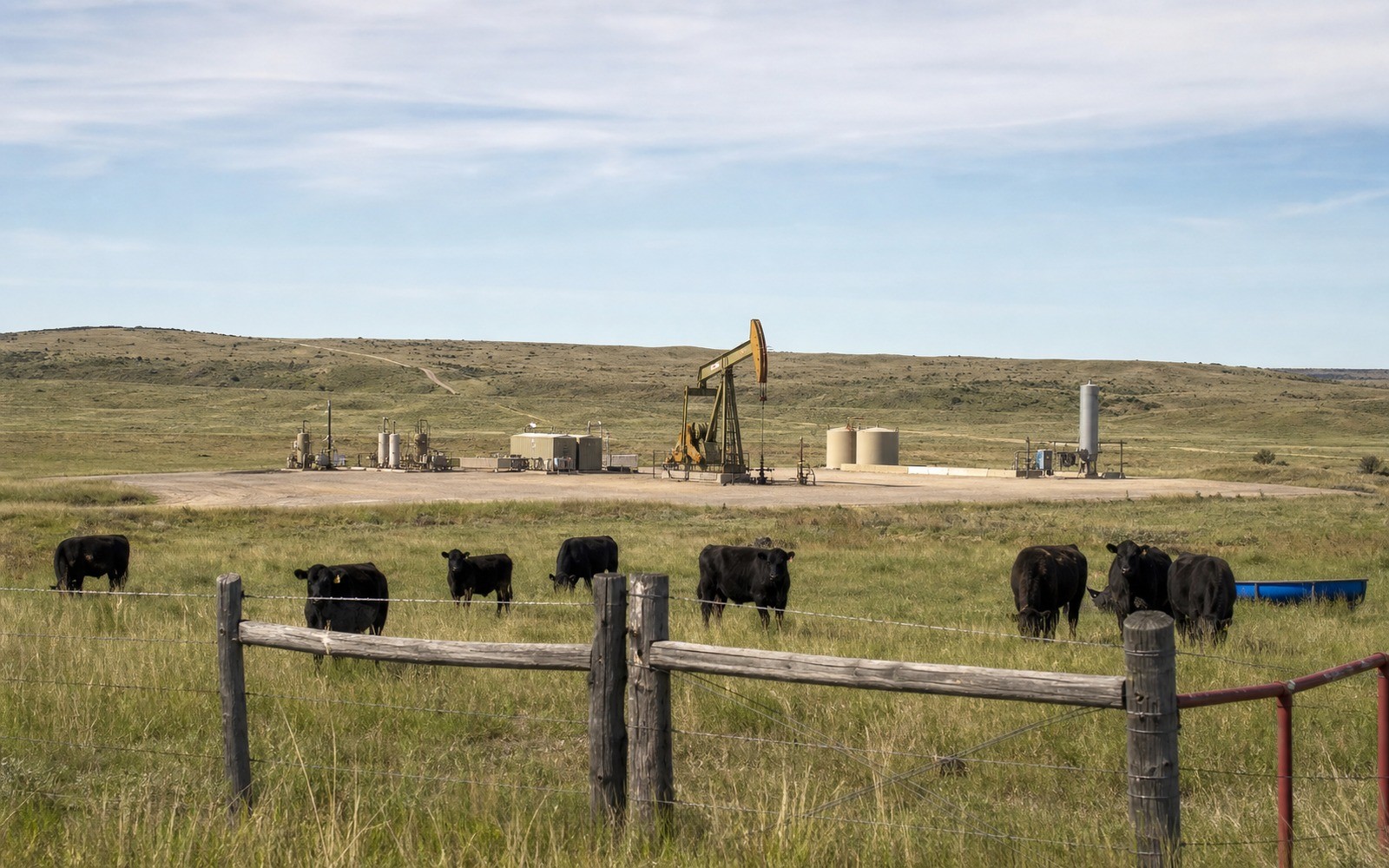
Peoria sits on the far southern fringe of DJ Basin territory in Arapahoe County, ground where the productive Niobrara and Codell trend that built Weld County's Wattenberg field has largely thinned out.
If you hold minerals near Peoria, they most likely came from farmland or ranchland held by your family before eastern Arapahoe County saw its share of Denver metro growth. Oil and gas history out this far south is thinner than in the core basin counties, so establishing whether anything has ever been drilled here is the first real question.
Southern DJ Basin fringe realities
Formation economics generally weaken as you move south and east away from the Wattenberg core, and Arapahoe County has seen far less horizontal development than Weld County. Some scattered older vertical wells exist in this part of the basin, but multi-well pad development common further north is largely absent here.
We check COGCC records specific to your legal description rather than assume based on the broader DJ Basin reputation, since the honest answer for a lot of Peoria-area acreage is that it's never been drilled.
What we need from you
Your deed or legal description, and any lease history if your family has ever signed one, even without a well following. We'll check Arapahoe County clerk and recorder filings and COGCC data before quoting.
Anchor the Area to the Colorado Record
An area brief should identify the local property context without substituting a city or county label for tract evidence. The file connects the local tract to the legal description, ownership fraction, formation, producing unit, operator, lease position, paid decimal, statement history, and nearby activity. County records, state well information, payor documents, and the owner file may each answer a different part of the schedule. The review should preserve those source differences rather than smoothing them into a generic statewide summary.
Compare Local Tracts Through the Same Evidence Lines
A local tract can be compared with other Colorado interests only after the same evidence lines are populated: recorded right, paid interest, production, decline, lease burdens, inventory signals, title risk, and written offer scope. Basin proximity, operator activity, or a nearby completion can add context but does not guarantee development. A useful written comparison states the date of the evidence, the assumptions included, the property excluded, and the title or timing condition that could still change the result.
Check the Assumption Before It Enters the Schedule
Is there any oil and gas activity near Peoria?
Limited compared to the DJ Basin core. We check whether any well has ever been permitted on your specific section before quoting.
Why does drilling thin out this far south in the basin?
Formation depth, thickness, and economics generally shift moving away from the Wattenberg core, along with increased land-use constraints closer to the Denver metro area.
Is undrilled acreage here worth selling?
It can be, priced as speculative rather than income-producing. We'll explain what that means for your specific interest before quoting.
How do you know if your Peoria-area land was ever leased in the past?
We check Arapahoe County clerk and recorder records for any historical lease or pooling filing tied to your legal description, even if it never led to a well being drilled.
How long does the evaluation process usually take?
For undeveloped acreage without a complex title history, we can typically give you a preliminary number within a few business days of receiving your legal description.