
Sell Mineral Rights in Inverness, CO
Inverness is a developed office and hotel corridor in Arapahoe County, and mineral rights connected to it almost always trace back to a legal description that predates the business park entirely.
Owners connected to Inverness usually hold minerals through inheritance from a family member who owned farmland in this part of Arapahoe County decades before it became a commercial corridor. The mineral estate survived the surface sale and development, even though nobody expects a well to ever be drilled there.
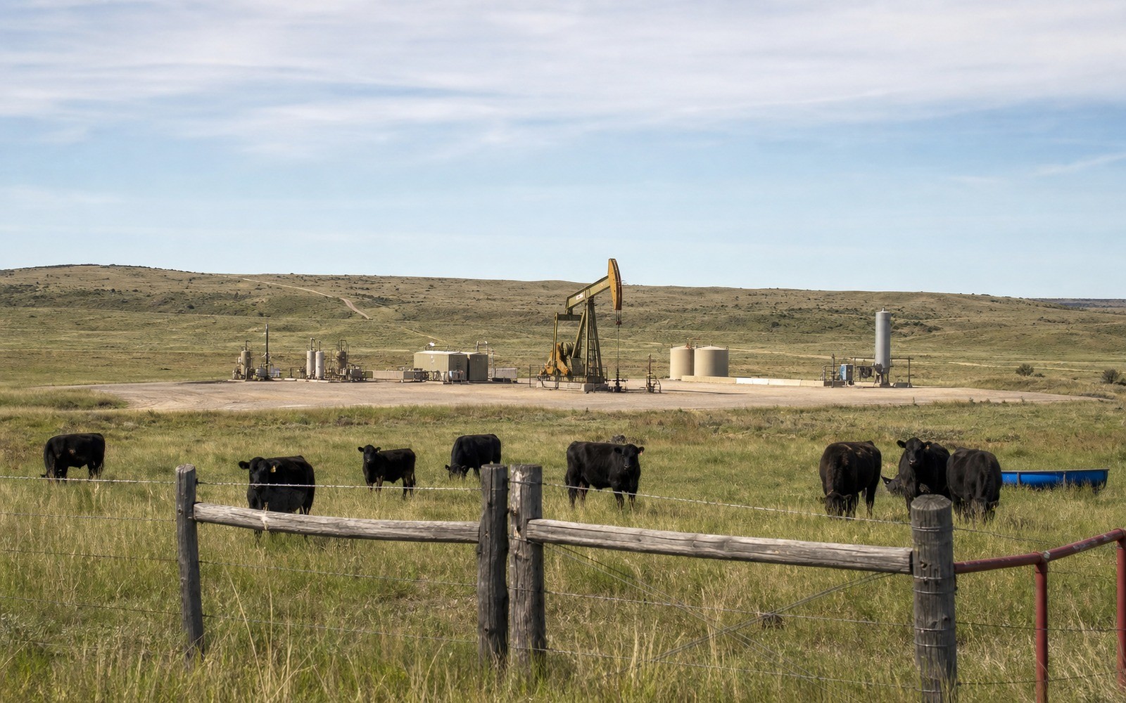
The value question comes down to whether that underlying tract sits inside a producing DJ Basin unit reached by horizontal drilling from elsewhere, or has never been leased at all.
Confirming the actual legal description
We start by matching your deed or inheritance paperwork to the actual parcel boundaries in Arapahoe County records, since the business park's current footprint does not reflect the original farmland parcel lines.
Producing or dormant
If the tract is inside an active unit, we price off trailing production and decline. If it has never been leased, we price conservatively against comparable unleased sales in the area.
Why developed surface does not end your ownership
Commercial development on the surface has no legal effect on a previously severed mineral estate. You continue to own what was reserved, regardless of what has been built above it since.
A quiet transaction that requires little of your time
Most owners connected to a busy commercial corridor like Inverness are not looking to spend much time on a mineral sale. Once we confirm the legal description and title, the process requires little more from you than reviewing paperwork and signing once, with everything else handled on our end.
Anchor the Area to the Colorado Record
An area brief should identify the local property context without substituting a city or county label for tract evidence. The file connects the local tract to the legal description, ownership fraction, formation, producing unit, operator, lease position, paid decimal, statement history, and nearby activity. County records, state well information, payor documents, and the owner file may each answer a different part of the schedule. The review should preserve those source differences rather than smoothing them into a generic statewide summary.
Compare Local Tracts Through the Same Evidence Lines
A local tract can be compared with other Colorado interests only after the same evidence lines are populated: recorded right, paid interest, production, decline, lease burdens, inventory signals, title risk, and written offer scope. Basin proximity, operator activity, or a nearby completion can add context but does not guarantee development. A useful written comparison states the date of the evidence, the assumptions included, the property excluded, and the title or timing condition that could still change the result.
Check the Assumption Before It Enters the Schedule
Does a business park being built over your land affect your mineral rights?
No, surface development does not extinguish a severed mineral estate. Your ownership continues as recorded.
How do you find the original legal description?
Send any deed or inheritance documents you have and we will trace it through Arapahoe County records.
Is your mineral interest likely to ever be drilled directly?
Unlikely given the developed surface, though it could be part of a unit reached by a horizontal well from a nearby pad.
How much time will this actually take from you?
Very little. Once title is confirmed, most owners just review and sign the closing paperwork once.
What if the original farmland parcel was split among multiple heirs over the years?
We trace each heir's share through Arapahoe County probate and deed records and can buy an individual co-owner's portion without requiring the rest of the family to sell together.