
Sell Mineral Rights in Idalia, CO
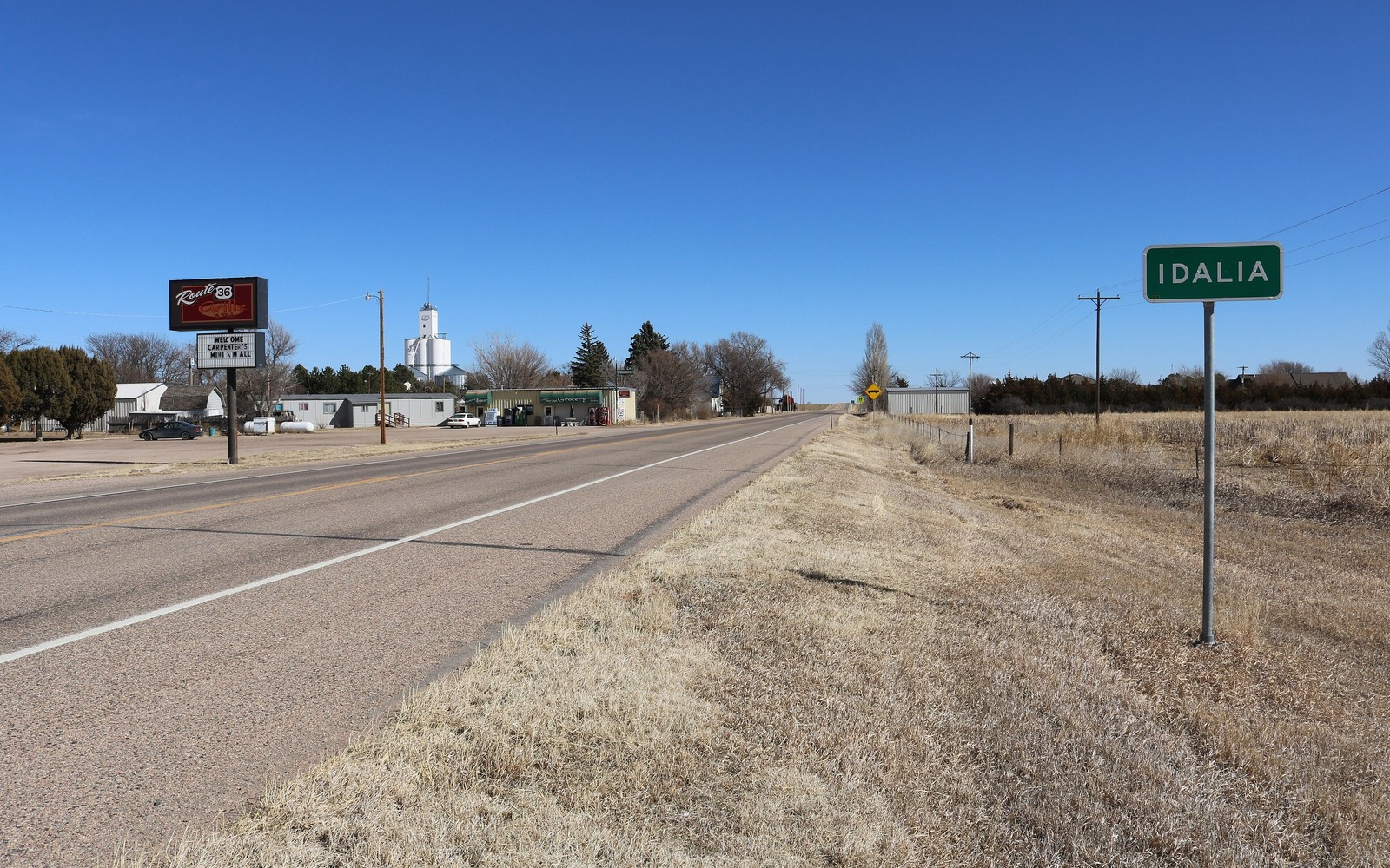
Idalia is far eastern plains country, wheat and cattle ground that has been in local families for generations, with mineral ownership that usually reflects that long, quiet agricultural history rather than any recent oil boom.
This part of Yuma County sits well outside the concentrated Wattenberg core, on the fringe of the broader Niobrara and Codell trend where leasing interest has come and gone in cycles tied to regional commodity prices rather than steady development.
If you hold minerals here, the most likely scenario is an unleased or dormant interest with no current production. We are upfront about that and price it as speculative acreage rather than implying value it does not currently have.
Fringe-area leasing cycles
Eastern Yuma County has seen periodic regional leasing pushes over the years without much follow-through drilling. If your family has an old lease on file, even an expired one, it tells us something about historical operator interest even without production.
Long-held family ground
Much of this area's mineral ownership has stayed within the same families since homestead days, often split among multiple heirs over the generations without formal documentation being updated. We handle that title research through Yuma County records.
Honest, conservative pricing
For undeveloped, fringe-area acreage like this, we price against comparable regional lease activity rather than production, and the resulting offer will generally be modest compared to core-area acreage. We would rather set that expectation clearly upfront.
What we do with limited documentation
Homestead-era Idalia-area land often comes with sparse paperwork, sometimes just a name and a rough sense of location passed down verbally. We can search Yuma County deed indexes by name to try to establish a documented chain of title even when your own records are thin.
Anchor the Area to the Colorado Record
An area brief should identify the local property context without substituting a city or county label for tract evidence. The file connects the local tract to the legal description, ownership fraction, formation, producing unit, operator, lease position, paid decimal, statement history, and nearby activity. County records, state well information, payor documents, and the owner file may each answer a different part of the schedule. The review should preserve those source differences rather than smoothing them into a generic statewide summary.
Compare Local Tracts Through the Same Evidence Lines
A local tract can be compared with other Colorado interests only after the same evidence lines are populated: recorded right, paid interest, production, decline, lease burdens, inventory signals, title risk, and written offer scope. Basin proximity, operator activity, or a nearby completion can add context but does not guarantee development. A useful written comparison states the date of the evidence, the assumptions included, the property excluded, and the title or timing condition that could still change the result.
Check the Assumption Before It Enters the Schedule
Is there any current drilling activity near Idalia?
Little to none currently. This area sits on the fringe of the broader Niobrara trend, where leasing activity has historically come in cycles.
A Colorado mineral-owning family has an old, expired lease. Does that help?
Yes, it shows past operator interest, which we weigh even though the lease itself has lapsed.
Why would offers here be lower than in Weld County?
Value tracks proximity to active development. Fringe, unleased acreage without production history prices more conservatively.
you only know roughly where a Colorado mineral-owning family's land was. Can you still find it?
We can try, searching Yuma County records by family name to attempt to establish a documented chain of title.