
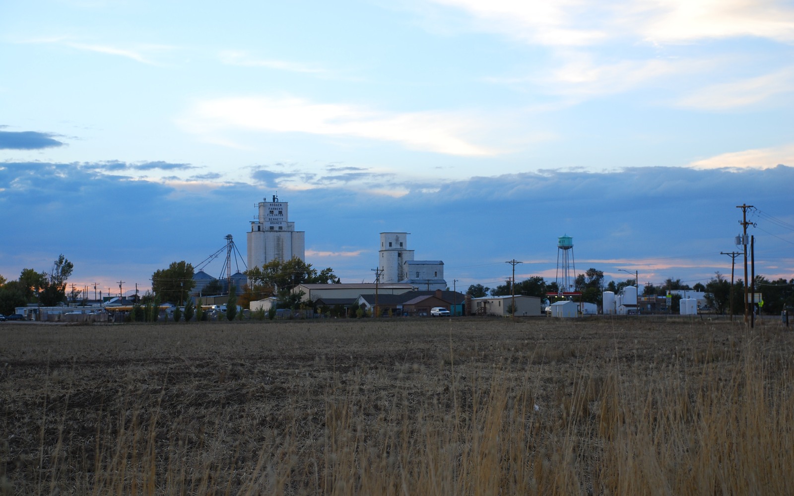
Sell Mineral Rights in Bennett, CO
Bennett sits well out on the rural eastern edge of Adams County, where dryland farming rather than suburban rooftops still defines the surface above DJ Basin acreage.
Mineral ownership around Bennett tends to follow the same pattern as much of Colorado's agricultural land: interests severed from farm and ranch deeds decades ago, split among heirs over multiple generations, with some tracts inside active leases and others sitting dormant simply because no operator has gotten around to them yet.
Rural surface access keeps development viable
Unlike the built-out suburbs closer to Denver, the open farmland around Bennett doesn't present the same surface-use obstacles to new pad siting. That makes this area more realistically drillable than dense residential zones, though actual activity still depends on where operators are focusing capital within the broader DJ Basin at any given time.
Confirming ownership on inherited farmland minerals
If your interest came through a farming family, start by pulling the deed and any probate records at the Adams County Clerk and Recorder to confirm your exact decimal share. Farm-era severances are frequently undocumented beyond an old lease or a mention in a will, and getting the paperwork straight before an offer avoids surprises later.
Weighing a lease offer against an outright sale
If you've been approached about leasing your Bennett-area minerals rather than selling them outright, it's worth understanding the tradeoff: a lease keeps you exposed to future royalty income if a well is drilled and produces well, but it also keeps you exposed to the risk that nothing gets drilled at all, or that a well underperforms. A sale converts that uncertainty into a fixed amount today. Neither is automatically the right answer — it depends on your own read of how likely and how strong nearby development looks, and on how much you value certainty versus upside.
Anchor the Area to the Colorado Record
An area brief should identify the local property context without substituting a city or county label for tract evidence. The file connects the local tract to the legal description, ownership fraction, formation, producing unit, operator, lease position, paid decimal, statement history, and nearby activity. County records, state well information, payor documents, and the owner file may each answer a different part of the schedule. The review should preserve those source differences rather than smoothing them into a generic statewide summary.
Compare Local Tracts Through the Same Evidence Lines
A local tract can be compared with other Colorado interests only after the same evidence lines are populated: recorded right, paid interest, production, decline, lease burdens, inventory signals, title risk, and written offer scope. Basin proximity, operator activity, or a nearby completion can add context but does not guarantee development. A useful written comparison states the date of the evidence, the assumptions included, the property excluded, and the title or timing condition that could still change the result.
Check the Assumption Before It Enters the Schedule
Is there current drilling activity near Bennett?
We check current state permit filings and unit boundaries against your specific legal description rather than assuming a flat answer for the whole area.
A Colorado mineral-owning family's minerals came from a farm sale generations ago — is that a problem?
No, it's the most common origin for mineral interests in this part of Colorado. We help confirm the chain of title through county records.
Do you buy interests with no current lease?
Yes. We evaluate non-producing rural interests against nearby permitting activity and give a price that reflects realistic development odds.
Should you lease instead of selling?
That depends on your risk tolerance and how confident you are in nearby development. We're happy to walk through both paths so you can make an informed choice rather than defaulting to whichever offer showed up first.