
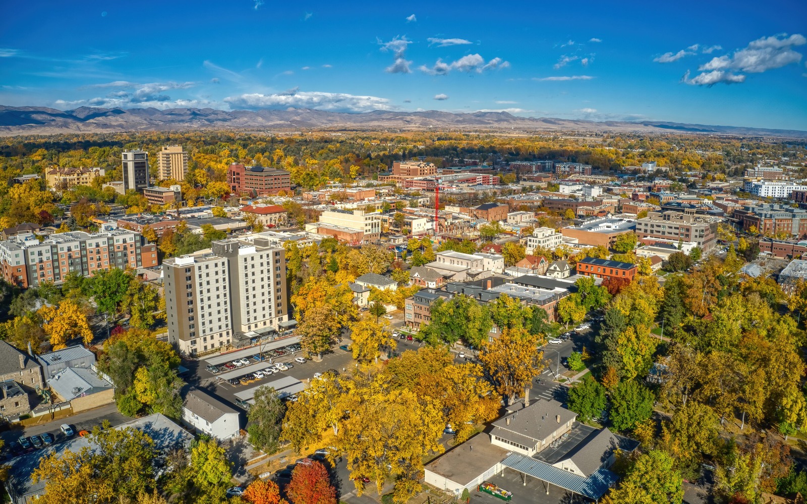
Sell Mineral Rights in Aurora, CO
Aurora grew by annexing farmland across three counties over the better part of a century, and a lot of the mineral rights under those old agricultural parcels were reserved by prior owners long before the annexations happened.
Because Aurora expanded piece by piece rather than being platted all at once, the mineral situation under any given neighborhood depends heavily on which original ranch or farm tract it came from. Some parcels retained mineral rights with the surface all the way through; others were severed decades earlier and have been changing hands independently ever since, with the current surface owner sometimes unaware minerals under their property belong to someone else entirely.
If your family holds a mineral interest connected to an Aurora-area legal description, tracing which annexation-era parcel it came from is usually the key to understanding whether it sits near any current or historical DJ Basin activity.
Eastern Aurora sits closer to active acreage
The far eastern edge of Aurora, out toward E-470 and beyond, sits closer to DJ Basin acreage that's seen more recent leasing and permitting activity than the older, fully built-out neighborhoods closer to the city's core. If your legal description is in that eastern stretch, it's worth checking current unit boundaries before assuming the interest is inactive.
Older, built-out Aurora is a different picture
In the long-established parts of the city, dense development limits new pad siting the way it does in most fully urbanized Denver-metro areas. Minerals here are more likely to be non-producing or tied to an old vertical well drilled before the neighborhood was built out, and any future development would most likely come from a horizontal well reaching in from a pad sited outside the residential footprint.
What we need to evaluate an Aurora interest
Your legal description is the starting point — section, township, and range, or the parcel number from your deed. From there we check which county the tract falls in (Aurora spans Adams, Arapahoe, and a small part of Douglas), whether it sits inside any unit, and what production or permitting history exists nearby. A deed or probate record showing your decimal interest speeds the process considerably.
Anchor the Area to the Colorado Record
An area brief should identify the local property context without substituting a city or county label for tract evidence. The file connects the local tract to the legal description, ownership fraction, formation, producing unit, operator, lease position, paid decimal, statement history, and nearby activity. County records, state well information, payor documents, and the owner file may each answer a different part of the schedule. The review should preserve those source differences rather than smoothing them into a generic statewide summary.
Compare Local Tracts Through the Same Evidence Lines
A local tract can be compared with other Colorado interests only after the same evidence lines are populated: recorded right, paid interest, production, decline, lease burdens, inventory signals, title risk, and written offer scope. Basin proximity, operator activity, or a nearby completion can add context but does not guarantee development. A useful written comparison states the date of the evidence, the assumptions included, the property excluded, and the title or timing condition that could still change the result.
Check the Assumption Before It Enters the Schedule
Aurora spans multiple counties — does that matter for your mineral interest?
It matters for which clerk and recorder's office holds your title records, but not for the underlying ownership. We identify the correct county based on your legal description as part of the evaluation.
Is eastern Aurora more likely to have active minerals?
Generally yes, since it sits closer to DJ Basin acreage that's seen more recent leasing activity than the older, built-out parts of the city.
you do not know which original farm or ranch your property came from — can you still help?
Yes. We can trace the annexation and deed history from your legal description without you needing to know the original parcel history yourself.