
Sell Mineral Rights in Fruita, CO
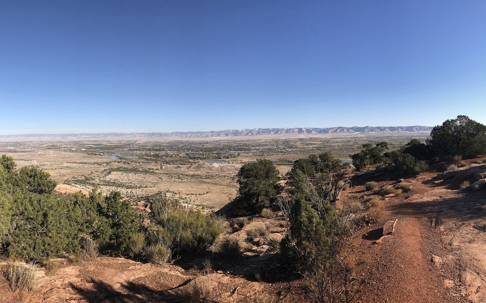
Fruita and the surrounding Grand Valley are known first for peach and fruit orchards, but the mineral estate underneath much of this Mesa County farmland has been part of the Piceance Basin story for decades.
Agriculture, not oil and gas, has always been the dominant land use around Fruita, which means mineral ownership here is often lightly documented: a family kept the minerals when selling or leasing farmland, and nobody has revisited the paperwork since. That is common and easy for us to work through.
Piceance gas activity around Grand Junction and the broader Grand Valley has run in cycles tied to natural gas prices, with more concentrated development historically closer to Parachute and Rifle to the east than directly around Fruita itself.
Farm-first land, mineral estate underneath
A lot of Fruita-area deeds only mention the mineral estate in passing, buried in older farm transfer language. We read the actual conveyance language carefully to confirm whether a severance happened and what it covers before quoting anything.
Distance from the core matters
Because the more concentrated Piceance drilling has historically clustered farther east, Fruita-area acreage tends to be lighter on production history. We price accordingly, weighing comparable regional lease activity more heavily than decline-curve math when there is no well on the specific tract.
If your family has old lease paperwork
Even an expired or dormant lease tells us something useful about historical operator interest in the acreage. Send us whatever paperwork you have, even if it looks outdated, and we will factor it into the valuation.
What if the mineral estate was never actually severed
Not every Fruita-area farm deed severed the minerals. Sometimes a family sold the entire estate, surface and minerals together, and there is nothing separate left to sell. We check this first, since it is better to know early than to assume you own something you do not.
Anchor the Area to the Colorado Record
An area brief should identify the local property context without substituting a city or county label for tract evidence. The file connects the local tract to the legal description, ownership fraction, formation, producing unit, operator, lease position, paid decimal, statement history, and nearby activity. County records, state well information, payor documents, and the owner file may each answer a different part of the schedule. The review should preserve those source differences rather than smoothing them into a generic statewide summary.
Compare Local Tracts Through the Same Evidence Lines
A local tract can be compared with other Colorado interests only after the same evidence lines are populated: recorded right, paid interest, production, decline, lease burdens, inventory signals, title risk, and written offer scope. Basin proximity, operator activity, or a nearby completion can add context but does not guarantee development. A useful written comparison states the date of the evidence, the assumptions included, the property excluded, and the title or timing condition that could still change the result.
Check the Assumption Before It Enters the Schedule
Is there active drilling right around Fruita?
Less than farther east toward Parachute and Rifle. We check your specific tract's history rather than assuming based on the general area.
your deed barely mentions mineral rights. What Do you do?
Send it to us anyway. We read older conveyance language carefully to confirm what was actually severed.
Does an old, expired lease still matter?
Yes, it shows past operator interest, which we weigh even if the lease itself has lapsed.
How do you know if a Colorado mineral-owning family actually kept the mineral rights?
We read your deed's exact language, since severance has to be explicitly reserved. If it was not, the mineral estate transferred along with the surface.