
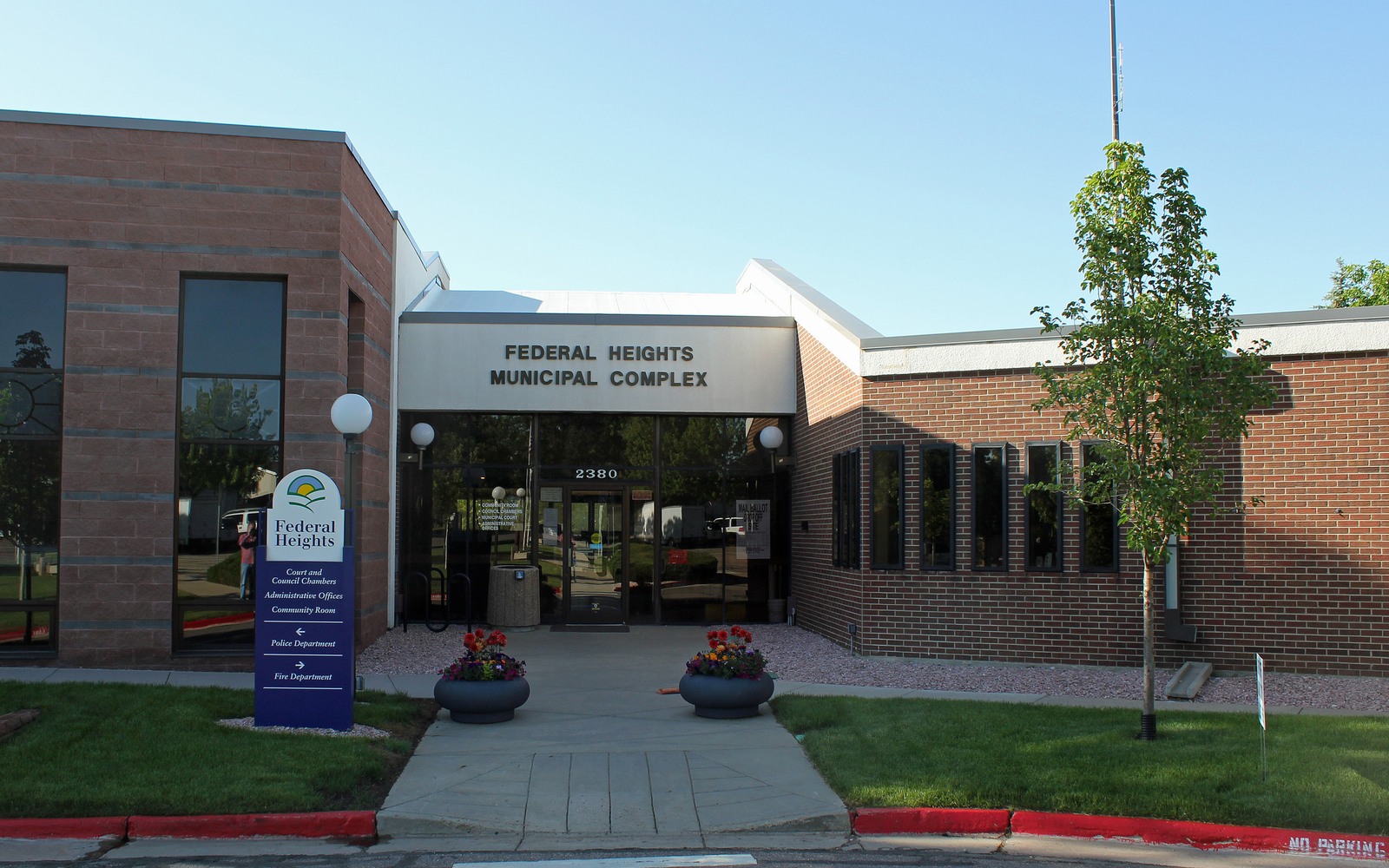
Sell Mineral Rights in Federal Heights, CO
Federal Heights is dense Denver-metro suburb, and most mineral interests connected to it were severed from farmland decades before the current neighborhoods were built.
As with much of northern Adams County, the mineral estate here was frequently kept separate when agricultural land was sold for residential development in the mid-to-late twentieth century. Current owners are usually heirs who received a fractional interest without a clear sense of whether it still matters.
The honest way to answer that is to check whether the tract sits inside an active or historically producing DJ Basin unit. We do that search before quoting a number, because pricing an unleased interest the same as a producing one would be dishonest.
Checking unit and lease status
We match your legal description against Adams County deed and lease records to determine whether your interest has ever been leased or pooled. Suburban tracts here sometimes show up in units that were formed years ago and produced modestly ever since, without the owner ever realizing it.
What happens after you accept an offer
Once you accept, we prepare a mineral deed and assignment reflecting your exact interest, you sign in front of a notary, and we record the document with Adams County. We then notify the operator of record, if any, so future royalty payments route correctly.
Pricing a producing suburban interest
If your tract is inside a producing unit, we price off the trailing decline curve from your check stub history, the same method we use for open farmland acreage elsewhere in Weld or Adams County.
Pricing an unleased interest
If there is no lease or unit history, we price conservatively against comparable unleased Adams County mineral sales, since developed suburban surface makes new drilling directly on the tract unlikely, even if the underlying mineral estate could still be reached by a horizontal well from elsewhere.
Anchor the Area to the Colorado Record
An area brief should identify the local property context without substituting a city or county label for tract evidence. The file connects the local tract to the legal description, ownership fraction, formation, producing unit, operator, lease position, paid decimal, statement history, and nearby activity. County records, state well information, payor documents, and the owner file may each answer a different part of the schedule. The review should preserve those source differences rather than smoothing them into a generic statewide summary.
Compare Local Tracts Through the Same Evidence Lines
A local tract can be compared with other Colorado interests only after the same evidence lines are populated: recorded right, paid interest, production, decline, lease burdens, inventory signals, title risk, and written offer scope. Basin proximity, operator activity, or a nearby completion can add context but does not guarantee development. A useful written comparison states the date of the evidence, the assumptions included, the property excluded, and the title or timing condition that could still change the result.
Check the Assumption Before It Enters the Schedule
you never knew you owned mineral rights here. How do you confirm it?
Send us your name and any deed or legal description you have and we will search Adams County records to confirm the severance and current status.
Would a well ever be drilled in Federal Heights itself?
Unlikely given the developed surface, but the underlying minerals could still be part of a unit reached by a horizontal well drilled from a pad elsewhere.
How do you price an interest with no lease history?
Conservatively, against comparable unleased Adams County mineral sales, since there is no production record to underwrite against.
Do you need to notify the operator yourself before selling?
No, we handle operator notification after closing so payments redirect correctly without you needing to make that call.