
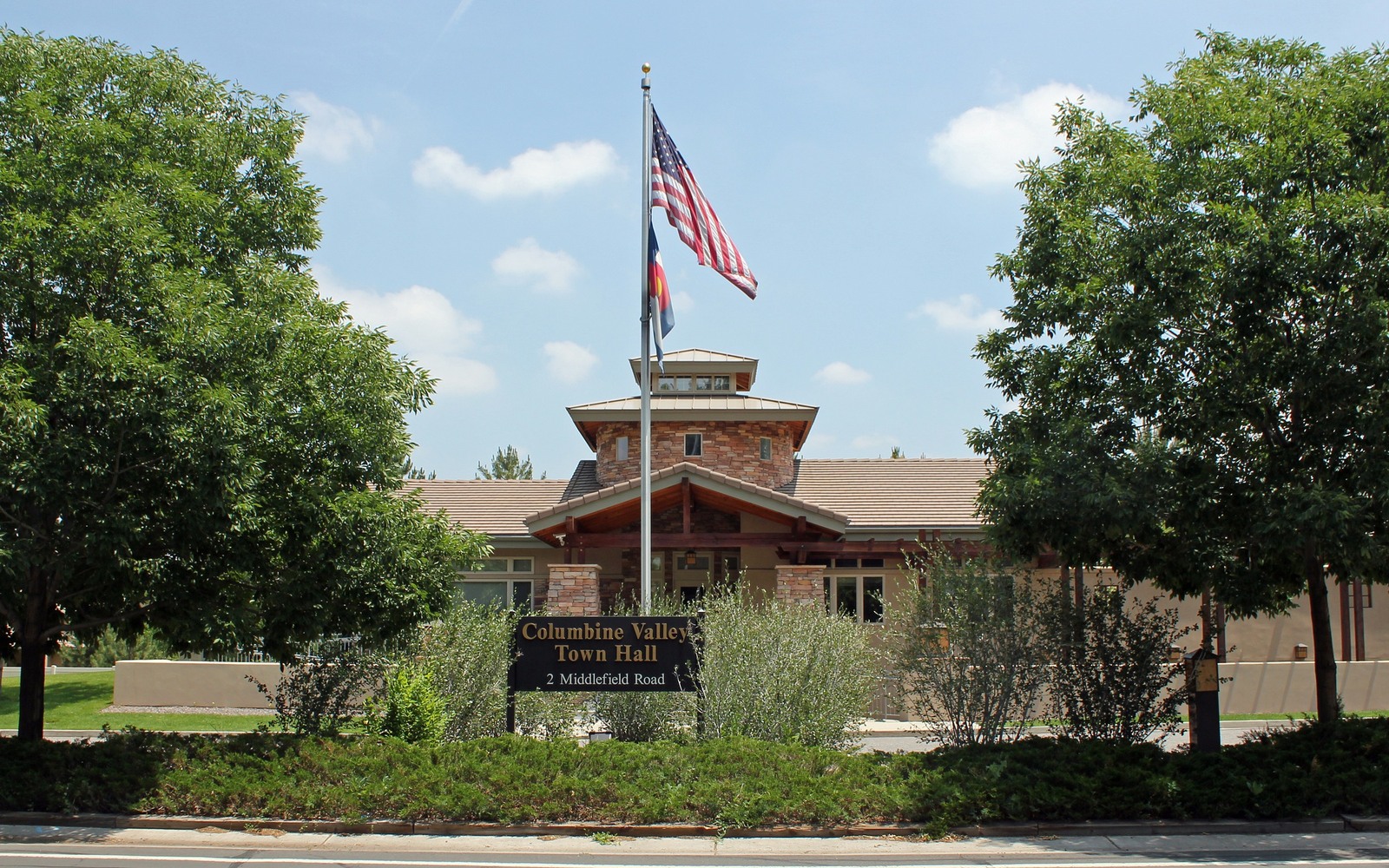
Sell Mineral Rights in Columbine Valley, CO
Columbine Valley is one of the smallest incorporated towns in Arapahoe County, a compact residential community sitting on ground that was part of a larger ranch operation before it was platted in the 1950s.
A mineral interest tied to a legal description in this area almost always originates from that earlier ranch-era ownership, severed from the surface before the town existed in its current form. Because the town is small and fully built out, most owners we work with here inherited the interest without ever having lived in the area themselves.
That distance — owning minerals under a place you've never been — is common, and it doesn't complicate the underlying evaluation. We work from your legal description and the county record regardless of your personal connection to the surface property.
Limited drilling prospects given the town's size
With the town's small footprint fully built out residentially, there's no realistic prospect of a well being sited within Columbine Valley itself. Any theoretical development would come through a directional well from outside town limits, which is a longer path than open acreage elsewhere in the basin offers.
Confirming a distant or inherited interest
If you're not sure exactly what you own or where it sits, the Arapahoe County Clerk and Recorder's deed index is the place to start. We routinely help owners who inherited an interest with minimal documentation trace it back to the original severance and confirm their current decimal share.
Multiple generations, one small interest
It's typical for a Columbine Valley-area interest to have split across several branches of a family since the original owner passed, with each holding a modest fraction of the whole. We can purchase an individual heir's share directly, or coordinate with multiple family members at once, whichever your family finds simpler.
Anchor the Area to the Colorado Record
An area brief should identify the local property context without substituting a city or county label for tract evidence. The file connects the local tract to the legal description, ownership fraction, formation, producing unit, operator, lease position, paid decimal, statement history, and nearby activity. County records, state well information, payor documents, and the owner file may each answer a different part of the schedule. The review should preserve those source differences rather than smoothing them into a generic statewide summary.
Compare Local Tracts Through the Same Evidence Lines
A local tract can be compared with other Colorado interests only after the same evidence lines are populated: recorded right, paid interest, production, decline, lease burdens, inventory signals, title risk, and written offer scope. Basin proximity, operator activity, or a nearby completion can add context but does not guarantee development. A useful written comparison states the date of the evidence, the assumptions included, the property excluded, and the title or timing condition that could still change the result.
Check the Assumption Before It Enters the Schedule
you have never been to Columbine Valley — Can you still sell minerals there?
Yes. We evaluate and purchase interests based on the legal description and county record, regardless of your personal connection to the area.
Is there any drilling prospect in such a small town?
Realistic near-term odds are low given the built-out residential footprint, though we still price and buy these interests based on their status as real, transferable assets.
How do you confirm what you actually inherited?
We can search the Arapahoe County deed and probate index using whatever partial information you have to confirm your interest and decimal share.
Your mineral interest is a small percentage split among several relatives — can you still buy it?
Yes, we routinely evaluate and purchase small fractional interests split across multiple heirs, and can work with one family member or several at once.